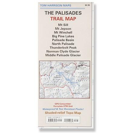
Palisades Trail Map
Tech Specs
Specifications are maintained on Pack4Back GearDB (community edits and revision history). Values may differ from the manufacturer or your unit—verify before buying.
Description
Printed on waterproof plastic for durability, this is a complete shaded-relief topographic map of the trails of the Palisades area.
Features
- Map features color-coded symbols and trails, mileage between trail junctions, latitude/longitude, UTM grids, contour lines, vegetation and elevations
- Map unfolds to 24" x 18", with a scale of 1:31,680 and contour intervals of 80 feet
- Identifies campgrounds, wilderness areas, the Pacific Crest Trail, hiking trails, unmaintained trails, information centers and pack stations
- Tom Harrison Maps; copyright 2006