Filters
No categories available
No brands available
California Maps
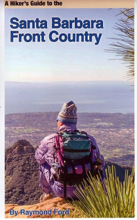
A Hiker's Guide to the Santa Barbara Front Country
A topographic map with local streets, hiking trails and major attractions all well marked, A Hiker's Guide to Santa Barbara Front Country is your guide to recreation in and around this iconic city.
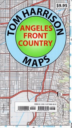
Angeles Front Country Trail Map
Tom Harrison CartographyAn invaluable resource for the Los Angeles area hiker, the Tom Harrison Cartography Angeles Front Country Trail Map details an area accessible via the Angeles Crest highway, just north of the city.

Angeles National Forest Topographic Map
National GeographicThe Trails Illustrated Angeles National Forest Topographic map provides unmatched detail and valuable information for outdoor enthusiasts enjoying this diverse recreational area north of Los Angeles.
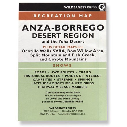
Anza-Borrego Desert Region
Wilderness PressRecreation map shows roads, 4WD routes, trails, historical routes, campsites, streams, springs and highway mileage markers
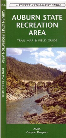
Auburn State Recreation Area Trail Map & Field Guide
Discover California's American River basin, a dream location for outdoor enthusiasts, with the Auburn State Recreation Area trail map and field guide.

Baja California Road & Recreation Atlas
Benchmark MapsWhether you're navigating between cities or seeking remote destinations, the Baja California Road & Recreation Atlas offers the details you need to plan a great trip from Tijuana to Land's End.
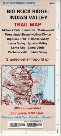
Big Rock Ridge-Indian Valley Trail Map
Tom Harrison CartographyDiscover fantastic hiking, running, equestrian and MTB trails in the rolling hills and valleys of California's Marin County with the Tom Harrison Cartography Big Rock Ridge–Indian Valley trail map.
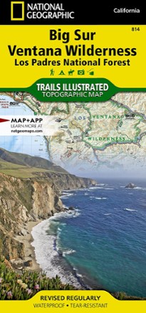
Big Sur / Ventana Wilderness Topographic Map
National GeographicThe Trails Illustrated Big Sur / Ventana Wilderness Topographic Map combines unmatched detail with helpful info to make the most of your visit to this remarkable section of California's coastline.

Big Sur and Ventana Wilderness Recreation Map - 3rd Edition
Wilderness PressStretching 90 mi. from Carmel to San Simeon, the Big Sur and Ventana Wilderness Recreation map includes many state parks and trails for you to explore along the picturesque California coast.
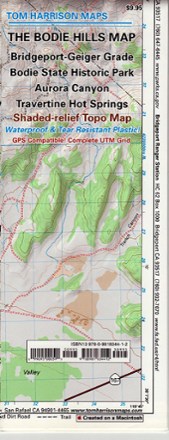
Bodie Hills Trail Map
Tom Harrison CartographyFeaturing the old ghost town of Bodie and its surrounding areas, the Tom Harrison Cartography Bodie Hills Trail Map is your guide to this popular region of the eastern Sierra.
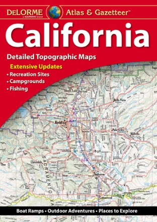
California Atlas and Gazetteer
DeLormeWhether you're visiting the many state or national parks or taking a drive along the coast, plan your trip to the Golden State with the detailed maps of the DeLorme California Atlas and Gazetteer.

California Delta Adventure Guide
Franko's MapsDesigned for boaters, anglers and other delta visitors, the California Delta Adventure Guide serves as map and guide to the San Joaquin and Sacramento Rivers.

California Desert National Parks Map Pack
National GeographicCombining 3 detailed maps and info, the Trails Illustrated California Desert National Parks map pack is perfect for your next trip to the national parks in the Mojave Desert region of California.
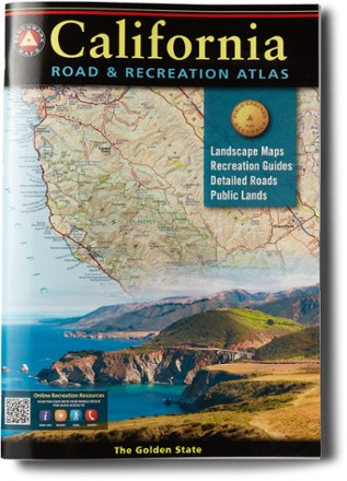
California Road & Recreation Atlas - 11th Edition
Benchmark MapsFrom mountains and deserts to the seemingly endless Pacific Coast, California is rich in geographic diversity and beauty. Go explore with the updated Benchmark Maps California Road & Recreation atlas.