Filters
No categories available
No brands available
Paper Maps
Map D - Trails in the Potomac Gorge Area and the Cabin John Trail
PATCThis map covers trails in the Potomac Gorge Area of Maryland and Northern Virginia and the Cabin John Trail in Maryland.

Map F - Trails in Great North Mountain: Lee Ranger District to Virginia and West Virginia
PATCCovering the George Washington National Forest along the Virginia/West Virginia state line, PATC Map F highlights sections 16, 17, 18 and 19 of the Tuscarora Trail
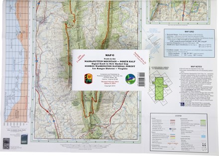
Map G - Trails in the Massanutten Mountain: Signal Knob to New Market Gap
PATCCovering an area from Signal Knob to New Market Gap, PATC Map G details sections 19 to 22 of the Tuscarora Trail in George Washington National Forest and the 72-mile Massanutten Trail.

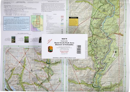
Map N - Trails in the Rock Creek Park Area, District of Columbia
PATCDurable, GPS-compatible and printed in full-color, PATC Map N - Trails in the Rock Creek Park Area is your guide to this outdoor refuge within the District of Columbia.
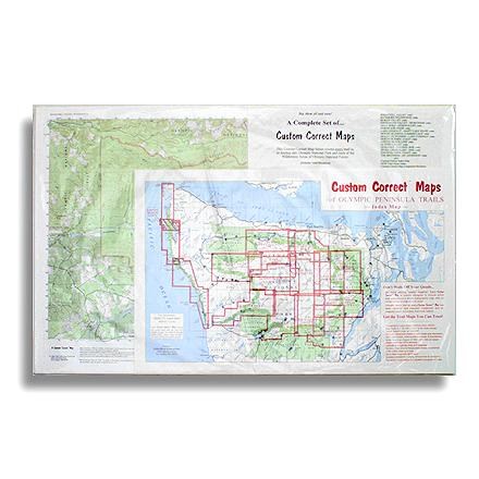
Map Set - Olympic Pennisula
Custom CorrectCustom topographic map, set to the trails of Olympic National Park and the Olympic Peninsula--specially formatted for hikers and climbers
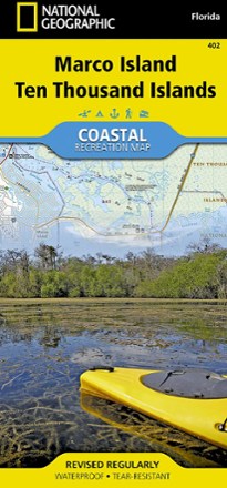
Marco Island and Ten Thousand Islands Coastal Recreation Map
National GeographicLet the National Geographic Marco Island and Ten Thousand Islands Coastal Recreation Map guide you, both on land and on water, in this popular recreation area just outside of Everglades National Park.
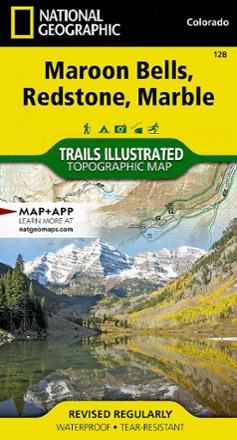
Maroon Bells/Redstone/Marble Trail Map
National GeographicThis informative Trails Illustrated map will help you plan trips and explore the area in and around Colorado's Maroon Bells, Redstone and Marble.
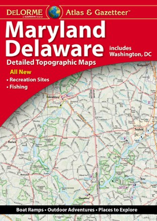
Maryland/Delaware Atlas and Gazetteer
DeLormePerfect for sightseeing, exploring back roads and trip planning, the 2022 edition of the DeLorme Maryland/Delaware Atlas and Gazetteer will help you find and explore hidden corners of these 2 states.

Massachusetts Atlas and Gazetteer
DeLormeTake in the Bay State and venture beyond Boston with the DeLorme Massachusetts Atlas and Gazetteer, which covers the entire state in fine detail.
North America MapsNew England and Mid Atlantic Maps - DEPRECATED
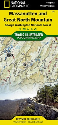
Massanutten and Great North Mountain Trail Map
National GeographicThis National Geographic Trails Illustrated folded map offers comprehensive coverage of he Massanutten and Great North Mountain area of Virginia.
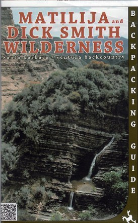
Matilija and Dick Smith Wilderness Map
Venture further into the wild backcountry of Santa Barbara and Ventura County with Matilija and Dick Smith Wilderness map guiding you way through these magnificent natural spaces.
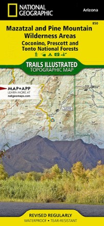
Mazatzal and Pine Mountain Wilderness Areas Topographic Map
National GeographicOutdoor enthusiasts looking for recreational opportunities just north of Phoenix will marvel at the Trails Illustrated Mazatzal and Pine Mountain Wilderness Areas topographic map.
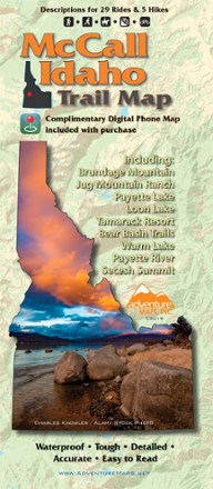
McCall Idaho Trail Map
Adventure MapsThe McCall area in central Idaho boasts more than 500 miles of public trails. Start exploring them with this handy Adventure Maps McCall Idaho trail map and matching digital map for use on your phone.