Paper Maps

Goat Rocks, Norse Peak and William O. Douglas Wilderness Areas Topographic Map
National GeographicThe Trails Illustrated Goat Rocks, Norse Peak and William O. Douglas Wilderness Areas topographic map provides unmatched detail to meet the needs of new hikers and experienced outdoor enthusiasts.
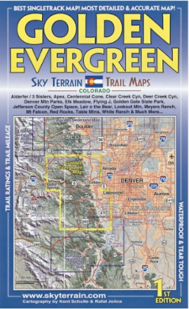
Golden Evergreen Trail Map - 1st Edition
Sky Terrain Trail MapsVenture to the closest mountain parks just west of Denver with the waterproof, pocket-size Sky Terrain Golden Evergreen Trail Map as your navigator to the area's abundance of singletracks and trails.

Grand Canyon National Park Topographic Map Pack
National GeographicThe Trails Illustrated Grand Canyon National Park topographic map pack guides you through this natural wonder, from sightseeing to overnight camping to backcountry itineraries and river float trips.
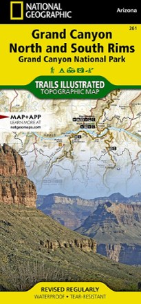
Grand Canyon National Park Trail Map - Bright Angel Canyon/North and South Rims
National GeographicThis Trails Illustrated Grand Canyon National Park trail map offers comprehensive coverage of Bright Angel Canyon and the North and South rims.
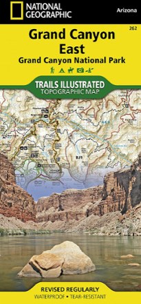
Grand Canyon National Park Trail Map - East
National GeographicThis Trails Illustrated folded map offers comprehensive coverage of the eastern section of Grand Canyon National Park.
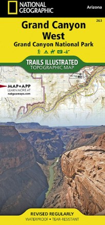
Grand Canyon National Park Trail Map - West
National GeographicThis Trails Illustrated folded map offers comprehensive coverage of the western section of Grand Canyon National Park.

Grand Gulch Plateau Trail Map
National GeographicThis waterproof Trails Illustrated map of Utah's Grand Gulch Plateau in the San Juan Resource Area is a great reference for exploration.
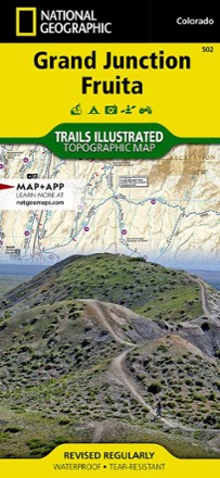
Grand Junction / Fruita Topographic Map
National GeographicPacked with over 500 miles of trails, the Trails Illustrated Grand Junction / Fruita topographic map is ideal for anyone hitting the trails in this outdoor recreation mecca of Colorado.

Grand Mesa Trail Map
National GeographicThis National Geographic Trails Illustrated folded map offers comprehensive coverage of Grand Mesa in Colorado.

Grand Staircase / Paunsaugunt Plateau Topographic Map
National GeographicHeaded out to enjoy the abundance of public lands and endless recreational opportunities in southern Utah? You'll love the Trails Illustrated Grand Staircase / Paunsaugunt Plateau topographic map.

Grand Teton National Park & Jackson Hole Trail Map
Adventure MapsHike, bike and explore Wyoming's treasures with the richly detailed and waterproof Adventure Maps Grand Teton National Park & Jackson Hole map to guide your way.
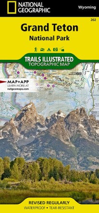
Grand Teton National Park Trail Map
National GeographicThis informative Trails Illustrated map will help you plan trips and explore the area in and around Wyoming's Grand Teton National Park.
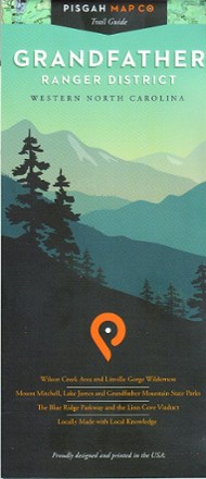
Grandfather Ranger District Map
Pisgah Map CoWith precisely drawn trails, the Grandfather Ranger District map offers topographic detail and map icons to guide you through spectacular natural features of North Carolina's Pisgah National Forest.
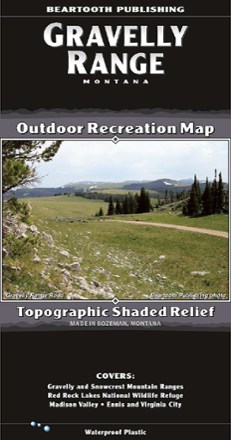
Gravelly Range, MT, Outdoor Recreation Map
Beartooth PublishingYour guide to one of the most remote, hidden areas in southern Montana, the Beartooth Publishing Gravelly Range map features 90 miles of dirt roads to ride, several peaks to climb and amazing views.