Gravelly Range, MT, Outdoor Recreation Map
Tech Specs
Specifications are maintained on Pack4Back GearDB (community edits and revision history). Values may differ from the manufacturer or your unit—verify before buying.
BrandBeartooth Publishing
Best UseMultisport
State / ProvinceMontana
Folded Dimensions8 x 4.2 inches
Unfolded Dimensions39.2 x 25.2 inches
Map Scale1:70,000
Double SidedYes
WaterproofYes
PublisherBeartooth Publishing
Description
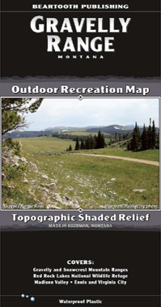
Your guide to one of the most remote, hidden areas in southern Montana, the Beartooth Publishing Gravelly Range map features 90 miles of dirt roads to ride, several peaks to climb and amazing views.
Features
- Ideal for touring by car, motorcycle, ATV or mountain bike, the Gravelly Range and Upper Ruby Roads region includes 90 mi. of dirt road to explore
- This map covers the Gravelly Range, the Snowcrest Range and the Madison Valley; it ranges from Ennis in the north to Red Rock Lakes National Wildlife Refuge in the south
- In the Snowcrest Range, hikers can enjoy several peak climbs in one of the most remote, hidden-away areas in Montana