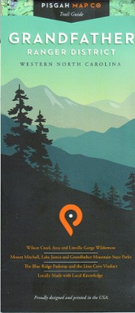
Grandfather Ranger District Map
Tech Specs
Specifications are maintained on Pack4Back GearDB (community edits and revision history). Values may differ from the manufacturer or your unit—verify before buying.
BrandPisgah Map Co
Best UseHiking
Folded Dimensions4 x 9 inches
Unfolded Dimensions38 x 25.75 inches
Map Scale1:60,000
WaterproofYes
PublisherPisgah Map Co
Copyright Year2018
State / ProvinceNorth Carolina
Description
With precisely drawn trails, the Grandfather Ranger District map offers topographic detail and map icons to guide you through spectacular natural features of North Carolina's Pisgah National Forest.
Features
- Trails indicated on this map are part of official trail systems
- Includes trailheads, facilities, trail designations, official roads and byways
- Topographic contour lines represent 50 ft. elevation changes
- Colorful map is printed on waterproof, tear-proof paper