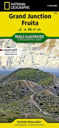


Grand Junction / Fruita Topographic Map
Tech Specs
Specifications are maintained on Pack4Back GearDB (community edits and revision history). Values may differ from the manufacturer or your unit—verify before buying.
Description
Packed with over 500 miles of trails, the Trails Illustrated Grand Junction / Fruita topographic map is ideal for anyone hitting the trails in this outdoor recreation mecca of Colorado.
Features
- Expertly researched map was created in partnership with local land management agencies
- Features key areas of interest including Colorado National Monument, Lunch Loops and Bangs Canyon, Westwater Mesa, Rabbit Valley, Mack Ridge and Kokopelli Loops
- Also covers McInnis Canyons National Conservation Area, Black Ridge Canyons Wilderness, Westwater Canyon, Grand Junction, Fruita and parts of Kokopelli and Tabeguache trails
- Detailed inset of the North Fruita Desert / 18 Road
- Easy-to-read, yet highly detailed map shows comprehensive trail and road networks, along with designated trails for hiking, horseback riding, biking and more
- Clearly marked navigational aids with UTM coordinate grids, scale bar and full legend, essential for safely navigating the backcountry with GPS or compass
- Features key points of interest such as scenic views, campgrounds, trailheads, boat launches and picnic sites
- Color-coded boundaries for public lands including national parks, national forests, national monuments, ranger districts, wilderness areas, state parks and wildlife refuges
- 1:35,000 scale
- Printed in the USA on durable, lightweight, waterproof and tear-resistant material designed to withstand all weather conditions
- Folded dimensions: 4.25 x 9.25 in.; unfolded dimensions: 37.75 x 25.5 in.
- National Geographic Maps; copyright 2009