North America Maps
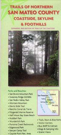
Trails of Northern San Mateo County Map
Extending from Pacifica to Half Moon Bay and Woodside, Trails of Northern San Mateo County sets your course to numerous trails and scenic views along the coastline, inland foothills and mountains.
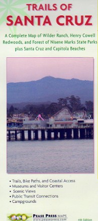
Trails of Santa Cruz Map
Complete map and guide of Wilder Ranch, Henry Cowell Redwoods and Forest of Nisene Marks state parks, Trails of Santa Cruz is your guide to hiking, recreation and scenic views in the region.
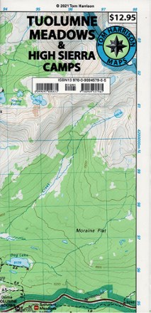
Tuolumne Meadows and High Sierra Camps Map
Tom Harrison CartographyIdeal for backpacking, the Tom Harrison Cartography Tuolumne Meadows and High Sierra Camps map features trails, topo lines and a 1:42,240 scale.
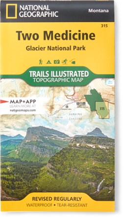
Two Medicine/Glacier National Park Topographic Map
National GeographicExpertly researched and created with land management agencies, this National Geographic Two Medicine topographic map details information for exploring southeastern Glacier National Park year-round.
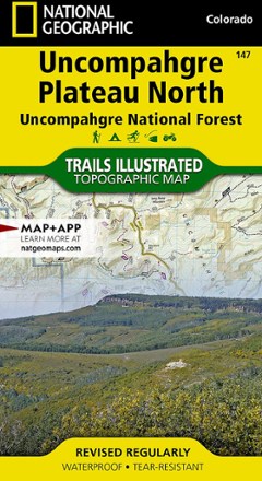
Uncompahgre Plateau North: Uncompahgre National Forest Topographic Map
National GeographicTrails Illustrated Uncompahgre Plateau North: Uncompahgre National Forest topographic map leads you to the year-round recreational opportunities of this unique area in southwestern Colorado.
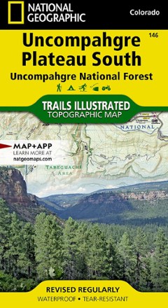
Uncompahgre Plateau South Topographic Map
National GeographicThe Trails Illustrated Uncompahgre Plateau South Map is created for outdoor enthusiasts exploring the year-round recreational opportunities in this unique area of southwestern Colorado.
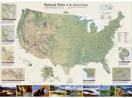
United States National Parks Wall Map - Tubed
National GeographicThe National Geographic United States National Parks wall map highlights America's magnificent parks, represented in subtle earth tones with shaded mountain relief and intricately drawn river systems.
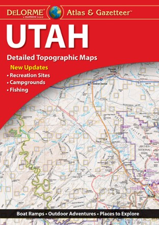
Utah Atlas & Gazetteer
DeLormeWhether hitting up the national parks or going deep into the backcountry, plan your trip to the Beehive Sate with detailed help from the Utah Atlas & Gazetteer large-format topographic map.
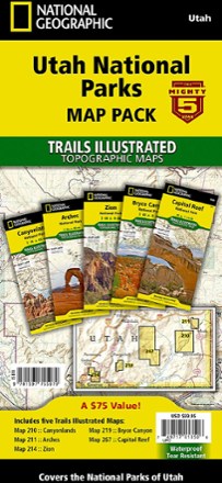
Utah National Parks Map Pack
National GeographicThe Trails Illustrated Utah National Parks map pack combines 5 iconic national parks in the high desert of Utah into a single, easy-to-use bundle.
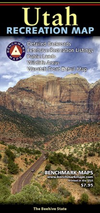
Utah Recreation Map
Benchmark MapsAn ideal planning tool for everything outdoors, the Utah Recreation Map is your detailed guide for day hikes and longer adventures alike in one of the Beehive State's rugged parks or wilderness areas.
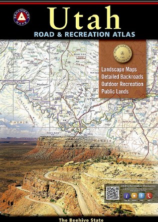
Utah Road & Recreation Atlas - 8th Edition
Benchmark MapsExplore the Beehive State with the Benchmark Maps Utah Road and Recreation Atlas as your navigator. Its filled with easy-to-read, shade-relief maps and loads of recreation activities to stop off for.
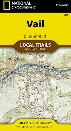
Vail Local Trails Map & Guide
National GeographicTake a hike with this National Geographic Local Trails map and guide of Vail, Colorado—situated at 8,150 ft. in the upper reaches of the Gore Valley and encircled by the White River National Forest.

Vail, Frisco, and Dillon Topographic Map
National GeographicThe Trails Illustrated Vail, Frisco, and Dillon topographic map is an unparalleled tool for exploring this region of the Colorado Rockies.

Valley of Fire State Park Adventure Guide
Franko's MapsValley of Fire State Park is a geologic wonderland with trails, campsites and ancient, petrified trees and petroglyphs. Use Franko's Maps Valley of Fire State Park Adventure Guide to discover it all.