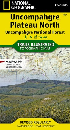


Uncompahgre Plateau North: Uncompahgre National Forest Topographic Map
Tech Specs
Specifications are maintained on Pack4Back GearDB (community edits and revision history). Values may differ from the manufacturer or your unit—verify before buying.
Description
Trails Illustrated Uncompahgre Plateau North: Uncompahgre National Forest topographic map leads you to the year-round recreational opportunities of this unique area in southwestern Colorado.
Features
- Expertly researched and created in cooperation with the U.S. Forest Service, Bureau of Land Management and others
- Provides unparalleled detail of northern Uncompahgre National Forest, Dominguez Escalante National Conservation Area and Dominguez Canyons Wilderness
- Also includes Tabeguache and Roubideau areas, Grand Mesa National Forest, Gunnison River, Unaweep-Tabeguache Scenic and Historic Byway and Tabeguache Trail
- Easy-to-read, yet highly detailed mapping shows comprehensive trail and road networks and designated trails for hiking, horseback riding, biking and more
- Clearly marked navigational aids with UTM coordinate grids, a scale bar and full legend, essential for safely navigating the backcountry with GPS or compass
- Key points of interest include scenic views, campgrounds, trailheads, boat launches and picnic sites
- Color-coded boundaries for public lands including national parks, national forests, national monuments, ranger districts, wilderness areas, state parks and wildlife refuges
- Printed in the USA on durable, lightweight, waterproof, tear-resistant material that's designed to withstand all weather conditions
- Folded dimensions: 4 x 7.5 in.; unfolded dimensions: 25.5 x 37.75 in.
- 1:63,360 scale
- National Geographic Maps; copyright 2011