Filters
No categories available
No brands available
North America Maps
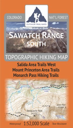
Sawatch Range South Topographic Map
Outdoor Trail MapsLightweight, waterproof, tough and compact, this Sawatch Range South topographic map shows all of the hiking trails in and around the southern Sawatch Mountain Range in central Colorado.
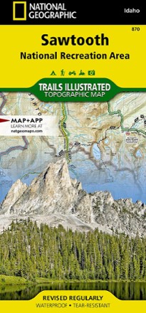
Sawtooth National Recreational Area Topographic Map
National GeographicIdaho's Sawtooth National Recreation Area sports more than 300 high-alpine lakes, 40 peaks over 10,000 ft. and hundreds of miles of trails. Explore it all with this Trails Illustrated topographic map.
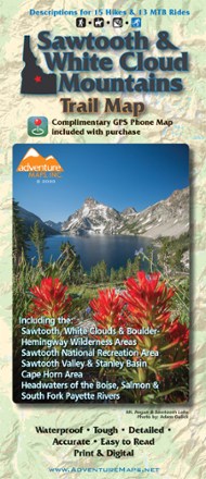
Sawtooth and White Cloud Mountains Trail Map
Adventure MapsFor awe-inspiring views of pristine lakes, peaks and landscapes, Adventure Maps Sawtooth and White Cloud Mountains map is your navigational link to take it all in by foot, mountain bike or horseback.

Sedona Singletrack Map
Beartooth PublishingScaled to best show the area's dense trail network, the Beartooth Publishing Sedona Singletrack map includes descriptions for 14 mountain bike rides in one of North America's top MTB destinations.

Sedona Topographic Map
Beartooth PublishingWaterproof, tear-resistant plastic topographic map includes three wilderness areas, four Arizona state parks and Oak Creek Canyon up to west fork.

Sedona Trails Map
If there's a trail to travel in the greater Sedona region, it's undoubtedly on the comprehensive Sedona Trails Map.

Sequoia & Kings Canyon National Park Trail Map
Adventure MapsDesign your own Californian national park adventure with this Adventure Maps Sequoia & Kings Canyon National Park topographic trail map. It comes with a matching digital map for use on your phone.
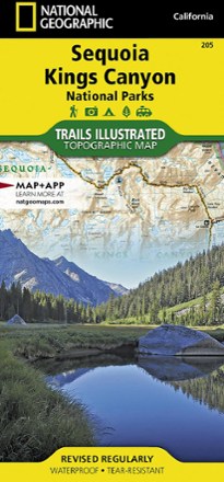
Sequoia and Kings Canyon National Park Trail Map
National GeographicThis National Geographic Trails Illustrated folded map offers comprehensive coverage of California's Sequoia and Kings Canyon national parks.

Sespe Wilderness Trail Map
Tom Harrison CartographyGet into the Santa Barbara Coastal Range where condors soar with the Tom Harrison Cartography Sespe Wilderness trail map as your guide.
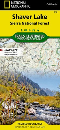
Shaver Lake: Sierra National Forest Topographic Map
National GeographicThe Trails Illustrated Shaver Lake: Sierra National Forest Topographic Map will help you navigate off the beaten path and back again, all around this very popular area of the Sierras in California.

Shawangunk Mountains Map
National GeographicA comprehensive guide to recreational opportunities, the National Geographic Shawangunk Mountains map was created in cooperation with land management agencies and preservation organizations.
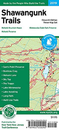
Shawangunk Trails Map Set - 11th Edition
New York New Jersey TrailWith 3 maps detailing more than 200 mi. of maintained trails and carriage roads, the 11th edition of the Shawangunk Trails map set is a must-have for exploring the special features of the region.
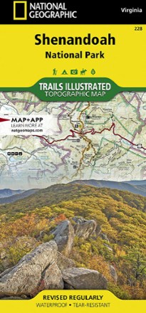
Shenandoah National Park Map
National GeographicThe Trails Illustrated Shenandoah National Park map offers clear, detailed coverage of the natural escape that's just 75 miles from the hustle and bustle of Washington, D.C.
North America MapsNew England and Mid Atlantic Maps - DEPRECATED

Shining Rock and Middle Prong Wilderness Areas Trail Guide
Pisgah Map CoA guide and locator map in one, the Shining Rock and Middle Prong Wilderness Areas trail guide from Pisgah Map Co is perfect for hikers, backpackers and backcountry anglers exploring the region.