Filters
No categories available
No brands available
North America Maps

High Peaks Trail Map - 15th Edition
Adirondack Mountain ClubLove big summits? Explore the highest peaks of the Adirondacks with this 15th edition of the High Peaks Trail map. Use it with the High Peaks Trails guidebook (not included) for a full experience.
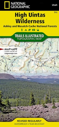
High Uintas Wilderness Topographic Map
National GeographicExplore the alpine vistas, glacier-formed lakes and Utah's highest peaks with the Trails Illustrated High Uintas Wilderness topographic map.
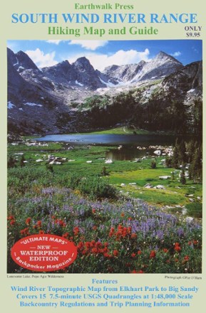
Hiking Map and Guide - South Wind River Range
Printed on waterproof plastic, this topographic map covers Elkhart Park to Big Sandy with backcountry regulations and trip planning information.
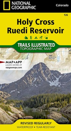
Holy Cross Ruedi Reservoir Topographic Map
National GeographicThe Trails Illustrated Holy Cross Ruedi Reservoir topographic map delivers unmatched detail and valuable information to assist you in your exploration of this rugged area of Colorado.

Hood River Oregon Trail Map
Adventure MapsThe Hood River area offers a wealth of recreational opportunities. Plan your adventure with this Adventure Maps Hood River Oregon topographic trail map and matching digital map for use on your phone.

Hoosier National Forest Trail Map
National GeographicThis detailed Trails Illustrated map from National Geographic offers comprehensive coverage of Indiana's Hoosier National Forest.
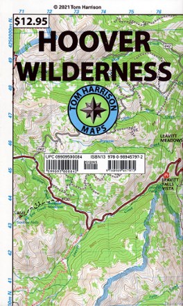
Hoover Wilderness Map
Tom Harrison CartographyReady to explore the Sierra Nevada? You'll want this Tom Harrison Cartography trail map to guide you to some of the best hiking trails in the Hoover Wilderness northeast of Yosemite.
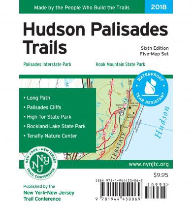
Hudson Palisades Trails Map Set - 6th Edition
New York New Jersey TrailWith 5 maps featuring more than 100 miles of trails, the 6th edition of the Hudson Palisades Trails map set is a must-have for exploring the trails and open space in the Palisades region.
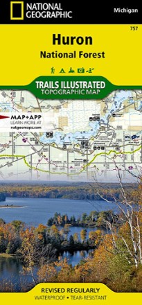
Huron National Forest Topographic Map
National GeographicThe Trails Illustrated Huron National Forest topographic map is an essential travel companion for outdoor enthusiasts exploring this area in northeast lower Michigan.
Hurricane Ridge Map
Custom CorrectRoute your trip from Lake Mills, Badger Valley, Blue Mountain to Lake Aldwell
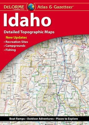
Idaho Atlas and Gazetteer
DeLormeWith over 25,000 miles of trails, there's plenty to explore in the mountainous Gem State. Plan your trip with help from the highly detailed and beautifully crafted DeLorme Idaho Atlas and Gazetteer.
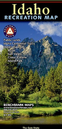
Idaho Recreation Map
Benchmark MapsGet your Gem State adventures on with this Benchmark Maps Idaho Recreation map. It features plenty of parks, public lands, wildlife and campground info, plus point-to-point mileages to get you there.
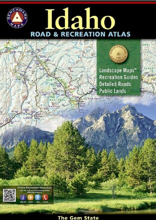
Idaho Road & Recreation Atlas - 6th Edition
Benchmark MapsUse the Benchmark Maps Idaho Road & Recreation Atlas to get out and discover the great state of Idaho. It boasts vivid, easy-to-read landscape maps and recreational details for even more outdoor fun.
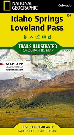
Idaho Springs/Georgetown/Loveland Pass Trail Map
National GeographicThis Trails Illustrated map will help you plan trips and explore the area in and around Colorado's Idaho Springs, Georgetown and Loveland Pass.