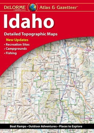
Idaho Atlas and Gazetteer
Tech Specs
Specifications are maintained on Pack4Back GearDB (community edits and revision history). Values may differ from the manufacturer or your unit—verify before buying.
BrandDeLorme
Best UseTravel
State / ProvinceIdaho
Folded Dimensions15.5 x 11 x 1 inches
Unfolded Dimensions15.5 x 22 x 1 inches
Map Scale1:210,000
Double SidedYes
WaterproofYes
PublisherGarmin
Copyright Year2021
Description
With over 25,000 miles of trails, there's plenty to explore in the mountainous Gem State. Plan your trip with help from the highly detailed and beautifully crafted DeLorme Idaho Atlas and Gazetteer.
Features
- Detailed topographic, large-format map with elevation contours, major highways, dirt roads, trails and land use data
- Includes campgrounds, fishing, boat launches, golf courses, hunting zones, canoe trips, scenic drives and more
- Gazetteer section provides essential information on landmarks, state and national parks, recreation sites, and points of interest
- While available information varies by state, DeLorme maps generally provide information essential for any outdoor enthusiast