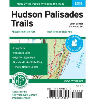
Hudson Palisades Trails Map Set - 6th Edition
Tech Specs
Specifications are maintained on Pack4Back GearDB (community edits and revision history). Values may differ from the manufacturer or your unit—verify before buying.
Best UseHiking
State / ProvinceNew Jersey
Folded Dimensions8 x 4.5 x 1 inches
Unfolded Dimensions21.5 x 20 inches
Map Scale1:18,000
Double SidedYes
WaterproofYes
PublisherNY/NJ TC
Copyright Year2018
Map Number108, 109, 110, 111 and 112
Description
With 5 maps featuring more than 100 miles of trails, the 6th edition of the Hudson Palisades Trails map set is a must-have for exploring the trails and open space in the Palisades region.
Features
- Set includes maps 108, 109, 110, 111 and 112
- Printed on waterproof, tear-resistant Tyvek® for exceptional durability
- 2018 edition features new trail mileage numbers, detailed contour lines and trail updates; also includes minor adjustments and additional viewpoints along the Long Path
- Includes 100 mi. of marked trails and bike paths along the western side of the Hudson River from Fort Lee, NJ, northward through Bergen and Rockland counties to Haverstraw, NY
- Also includes approximately 40 mi. of the Long Path from its southern terminus at Fort Lee Historic Park
- Scale of 1:18,000 (3.52 in. = 1 mi.)
- 20 ft. elevation contours; UTM coordinate grid
- Maps indicate parkland boundaries, unmaintained trails, woods, roads, viewpoints, waterfalls, mines and other points of interest
- Maps also indicate parking areas, as well as park contact information, history and regulations