Filters
No categories available
No brands available
North America Maps
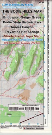
Bodie Hills Trail Map
Tom Harrison CartographyFeaturing the old ghost town of Bodie and its surrounding areas, the Tom Harrison Cartography Bodie Hills Trail Map is your guide to this popular region of the eastern Sierra.
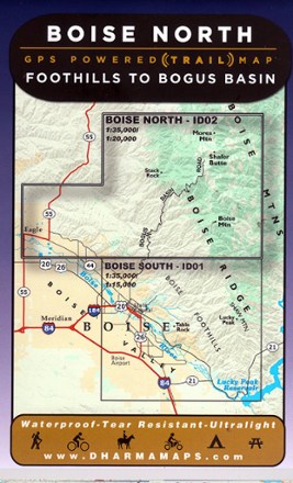
Boise North: Foothills to Bogus Basin Map
Venture to the wilderness north of Boise with Boise North: Foothills to Bogus Basin map, a waterproof map built for rugged adventures with well marked trailheads and numbered trails.
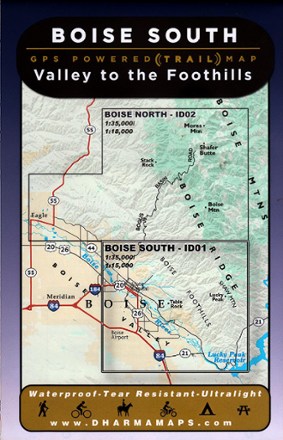
Boise South: Valley to the Foothills Map
Leading from the Boise valley to the foothills, Boise South: Valley to the Foothills map sets the course to rugged adventures with well-marked trailheads and numbered trails in a waterproof design.

Boise, Trinity Mountain Topographic Map
National GeographicExplore the playground of trails and outdoor recreation areas north and east of Boise, Idaho, with the National Geographic Boise, Trinity Mountain Topographic map.

Boston Harbor Islands National Recreation Area Topographic Map
National GeographicThe Trails Illustrated Boston Harbor Islands National Recreation Area topographic map is an essential travel companion for visitors enjoying this area's abundant recreational opportunities.
North America MapsNew England and Mid Atlantic Maps - DEPRECATED
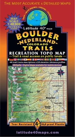
Boulder - Nederland Trails Map
Latitude 40 MapsA recreational topo map covering the beautiful terrain in and around Boulder County, Colorado, the Latitude 40 Maps Boulder - Nederland Trails map includes 48 trail descriptions for outdoor lovers.
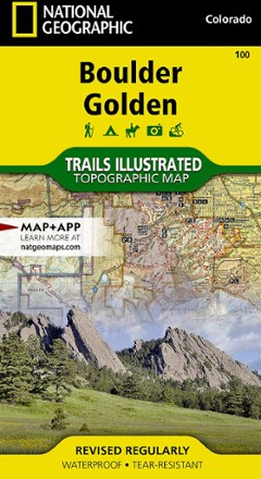
Boulder / Golden Area Map - Colorado
National GeographicThis informative Trails Illustrated map will help you plan trips to and explore the area in and around Boulder and Golden, Colorado.
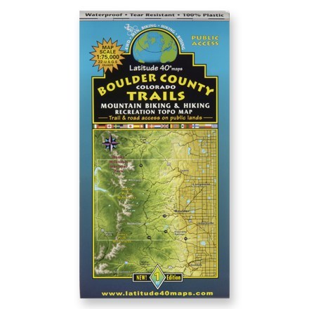
Boulder County Colorado Trails Map
Latitude 40 MapsA waterproof topographic map of Boulder County trails in Colorado for hiking and moutain biking
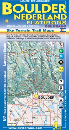
Boulder, Nederland and Flatirons Trail Map - 4th Edition
Sky Terrain Trail MapsVenture into the front range of the Rockies with the Sky Terrain Boulder, Nederland and Flatirons Trail Map, vividly detailed with shade relief topography and an abundance of trails to trek.

Boundary Waters Canoe Area Wilderness Topographic Map Pack
National GeographicThe Trails Illustrated Boundary Waters Canoe Area Wilderness topographic map pack offers detailed guidance through more than a million acres of this unique wilderness in Superior National Forest.

Bozeman Area Outdoor Recreation Map
Beartooth PublishingCovering the Bozeman, Montana, area from the Sacagawea Peak to Hyalite Peak, this Beartooth Publishing topographic recreation map features a larger scale that's ideal for trail and backcountry use.

Bozeman, Big Sky, Bridger Range Topographic Map
National GeographicExperience soaring peaks, pristine landscapes and year-round recreation with this expertly researched National Geographic Bozeman, Big Sky and Bridger Range topographic map.

Bradshaw Mountains Topographic Map
National GeographicCreated in partnership with the U.S. Forest Service and others, the Trails Illustrated Bradshaw Mountains topographic map is an essential companion for outdoor enthusiasts exploring the area.

Brasstown Bald / Chattooga River Topographic Map
National GeographicThe Trails Illustrated Brasstown Bald / Chattooga River topographic map delivers unmatched detail and valuable information to assist you in your exploration of this fascinating area of Georgia.