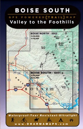

Boise South: Valley to the Foothills Map
Tech Specs
Description
Leading from the Boise valley to the foothills, Boise South: Valley to the Foothills map sets the course to rugged adventures with well-marked trailheads and numbered trails in a waterproof design.
Features
- One part of a 2 map set covering the wilderness around Boise (Boise North map not included)
- Full-color map with 40 ft. contours features numbered trails and well marked trailheads with GPS assistance to make navigation and selection easier
- Ideal for outdoors enthusiasts who enjoy hiking, biking, horseback riding, motorcycles, camping and picnics
- Waterproof, tear-resistant construction made to withstand the hard wear and frequent use on the trails in any conditions