Filters
No categories available
No brands available
North America Maps
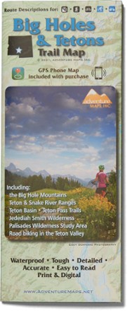
Big Holes and Tetons Trail Map
Adventure MapsHike, bike and explore the borderlands of beautiful southeast Idaho with the richly detailed and waterproof Adventure Maps Big Holes and Tetons map to guide your way.
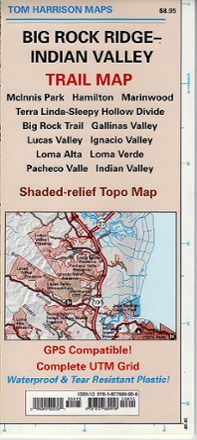
Big Rock Ridge-Indian Valley Trail Map
Tom Harrison CartographyDiscover fantastic hiking, running, equestrian and MTB trails in the rolling hills and valleys of California's Marin County with the Tom Harrison Cartography Big Rock Ridge–Indian Valley trail map.
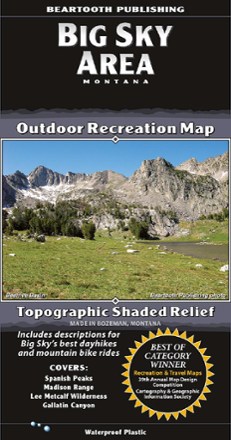
Big Sky Area Recreation Map
Beartooth PublishingCovering the Big Sky area from the Spanish Peaks to Yellowstone's Bighorn Pass Trailhead, this map from Beartooth Publishing features a larger scale that's ideal for trail and backcountry use.
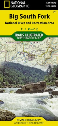
Big South Fork National Recreation Area Trail Map
National GeographicThis National Geographic Trails Illustrated folded map offers comprehensive coverage of Kentucky's Big South Fork National River and Recreation Area.
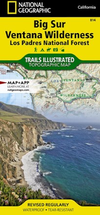
Big Sur / Ventana Wilderness Topographic Map
National GeographicThe Trails Illustrated Big Sur / Ventana Wilderness Topographic Map combines unmatched detail with helpful info to make the most of your visit to this remarkable section of California's coastline.

Big Sur and Ventana Wilderness Recreation Map - 3rd Edition
Wilderness PressStretching 90 mi. from Carmel to San Simeon, the Big Sur and Ventana Wilderness Recreation map includes many state parks and trails for you to explore along the picturesque California coast.
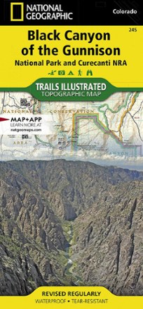
Black Canyon of the Gunnison Topographic Map
National GeographicThe Trails Illustrated Black Canyon of the Gunnison topographic map delivers unmatched detail and valuable information to assist you in exploring this breathtaking wilderness.
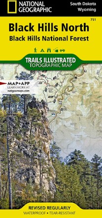
Black Hills Northeast Trail Map
National GeographicThis detailed Trails Illustrated map offers comprehensive coverage of the northeast Black Hills in South Dakota.
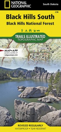
Black Hills Southeast Topographic Map
National GeographicThe detailed Trails Illustrated Black Hills Southeast topographic map offers comprehensive coverage of the southeast Black Hills in South Dakota.
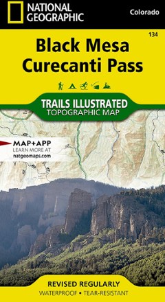
Black Mesa / Curecanti Pass Topographic Map
National GeographicOutdoor enthusiasts seeking to explore the remote and untamed mountains of western Colorado will marvel at the Trails Illustrated Black Mesa / Curecanti Pass topographic map.

Black Mountain-Montreat-Ridgecrest Map
Pisgah Map CoFor day hikers and cyclists, grab the Black Mountain map, which will guide you through parks and greenways in town as well as the remote wilds of the Montreat Wilderness and Ridgecrest trail systems.

Blue Ridge Parkway Destination Map
National GeographicThe National Geographic Blue Ridge Parkway Destination Map guides you along this winding route that traverses some of America's most picturesque scenery.
North America MapsNew England and Mid Atlantic Maps - DEPRECATED
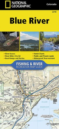
Blue River Fishing & River Recreation Map Guide
National GeographicThe National Geographic Blue River Fishing & River recreation map guide is a compact and lightweight companion for experiencing this picturesque river and its endless recreation opportunities.

Bob Marshall Wilderness Complex South Half Outdoor Recreation Map - 5th Edition
Cairn CartographicsCovering the south half of the Bob Marshall Wilderness Complex, this Cairn Cartographics map features GPS data from the summer and fall of 2010, making for accurate trail locations and mileages.