Filters
No categories available
No brands available
Maps
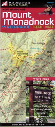
Mount Monadnock Waterproof Trail Map
Map AdventuresFun for families and seasoned hikers alike, Mount Monadnock is open year-round and offers 100-mile views from the summit. Explore all the area offers with the Map Adventures Mount Monadnock map.
North America MapsNew England and Mid Atlantic Maps - DEPRECATED
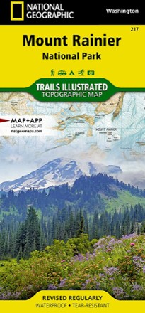
Mount Rainier National Park Trail Map
National GeographicThis colorful Trails Illustrated folded map offers detailed coverage of Mount Rainier National Park in Washington State.
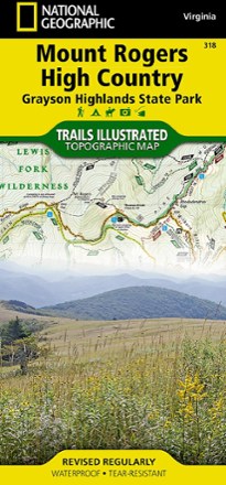
Mount Rogers High Country Map
National GeographicThe National Geographic Trails Illustrated Mount Rogers High Country map offers detailed coverage of the landscapes and sweeping vistas found in Virginia's Grayson Highlands State Park.
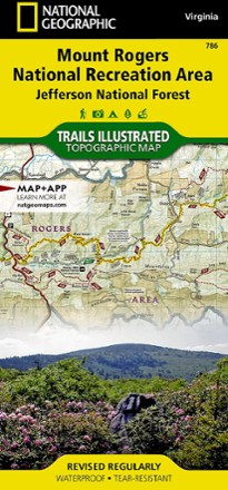
Mount Rogers National Recreation Area Map
National GeographicThis Trails Illustrated folded map offers comprehensive coverage of the Mount Rogers National Recreation Area in Virginia.
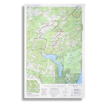
Mount Skokomish - Lake Cushman Map
Custom CorrectTopographic trail map of Mount Skokomish Wilderness, North and South Skokomish River trails, and the Lake Cushman Area
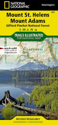
Mount St. Helens and Mount Adams Topographic Map
National GeographicThis colorful Trails Illustrated Mount St. Helens and Mount Adams trail map from National Geographic offers detailed coverage of 2 of Washington's volcanoes and the Gifford Pinchot National Forest.
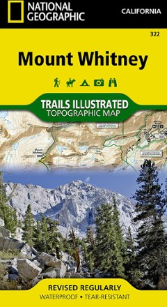
Mount Whitney Map
National GeographicThe National Geographic Trails Illustrated Mount Whitney map offers detailed coverage of the grandeur and terrain surrounding the highest peak in the contiguous United States.
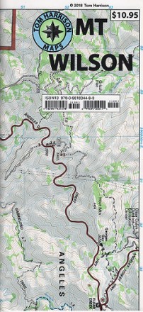
Mount Wilson Trail Map
Tom Harrison CartographyGreatly updated in 2018 to cover areas not clearly shown in the previous edition, the Tom Harrison Cartography Mount Wilson trail map features popular trails on a larger scale.

Mount Zirkel Wilderness Topographic Map
Outdoor Trail MapsPlan your own adventure with the compact Mount Zirkel Wilderness topographic map. It shows hiking trails in the Mount Zirkel Wilderness in the Park Range of northern Colorado near Steamboat Springs.
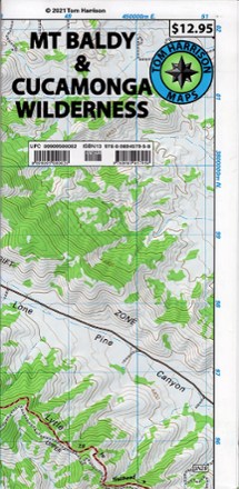
Mt Baldy & Cucamonga Wilderness Trails Map
Tom Harrison CartographyPlan a hike or go cross-country skiing or snowshoeing with the Mt Baldy & Cucamonga Wilderness Trails Map from Tom Harrison Cartography.
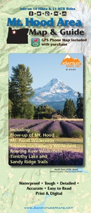
Mt. Hood Area Map & Guide
Adventure MapsEnjoy the old-growth trees, clear mountain streams and high-alpine views of Oregon's Mt. Hood area with this waterproof hiking map and guide from Adventure Maps.

Mt. Mansfield and the Worcester Range Hiking Trail Map
Green Mountain ClubExplore the many trails of Vermont's highest peak with the Green Mountain Club Mount Mansfield and Worcester Range trail map as your weatherproof guide to this spectacular region of New England.
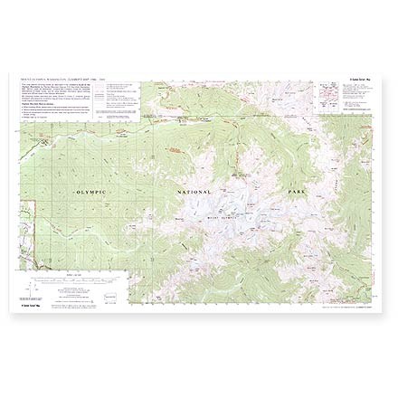
Mt. Olympus Climber'sTopo Map
Custom CorrectThis map depicts climbing routes as described in the Climber's Guide to the Olympic Mountains by Olympic Mountain Rescue.
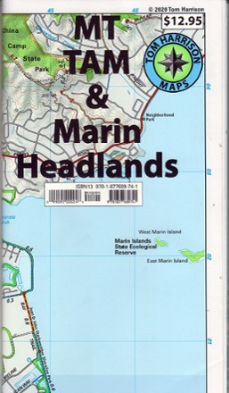
Mt. Tam & Marin Headlands Trail Map - 2020 Edition
Tom Harrison CartographyDiscover Mount Tamalpais and its surroundings with the waterproof and tear-resistant Mt. Tam & Marin Headlands trail map from Tom Harrison Cartography.