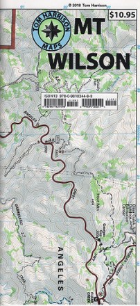
Mount Wilson Trail Map
Tech Specs
Specifications are maintained on Pack4Back GearDB (community edits and revision history). Values may differ from the manufacturer or your unit—verify before buying.
Best UseHiking
Folded Dimensions9 x 4.2 inches
Unfolded Dimensions26.5 x 17 inches
Map Scale1:31,680
Double SidedYes
WaterproofYes
PublisherTom Harrison Cartography
Copyright Year2018
State / ProvinceCalifornia
Description
Greatly updated in 2018 to cover areas not clearly shown in the previous edition, the Tom Harrison Cartography Mount Wilson trail map features popular trails on a larger scale.
Features
- Covers Santa Anita Canyon, Arroyo, Gabrielino and more
- GPS compatible; complete UTM grid
- Contour lines every 80 ft.