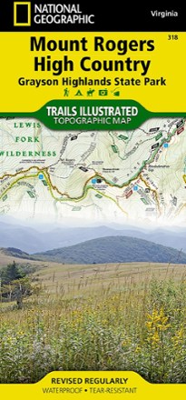

Mount Rogers High Country Map
Tech Specs
Specifications are maintained on Pack4Back GearDB (community edits and revision history). Values may differ from the manufacturer or your unit—verify before buying.
Description
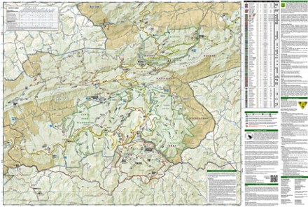
The National Geographic Trails Illustrated Mount Rogers High Country map offers detailed coverage of the landscapes and sweeping vistas found in Virginia's Grayson Highlands State Park.
Features
- Lists valuable wilderness tips and Leave No Trace guidelines, along with updated trails, points of interest, campgrounds and much more
- Printed on waterproof, tear-resistant material with a plastic coating that offers supreme durability for your next outdoor adventure
- Includes selected waypoints in both lat./lon. and UTM coordinate systems as well as GPS-compatible UTM grid lines for easy navigation
- Scale of 1:75,000 and 1:35,000
- National Geographic Maps; copyright 2013