Filters
No categories available
No brands available
Colorado Maps
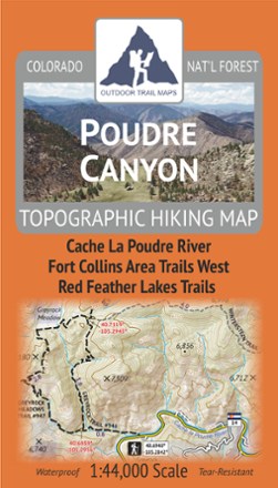
Poudre Canyon Topographic Map
Outdoor Trail MapsPlan your own adventure with the light, tough and compact Poudre Canyon topographic map. It shows all of the hiking trails in and around the Cache La Poudre River canyon and Red Feather Lakes areas.
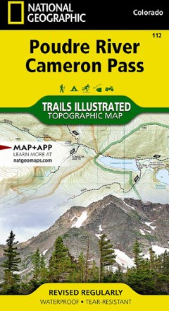
Poudre River and Cameron Pass Map
National GeographicThis National Geographic Trails Illustrated folded map offers comprehensive coverage of the Poudre River and Cameron Pass areas in Colorado.

Rand Stillwater Pass Topographic Map
National GeographicThe detailed Trails Illustrated Rand Stillwater Pass topographic map is perfect for outdoor enthusiasts exploring this pristine mountainous area just outside of Rocky Mountain National Park.

Red Feather Lakes / Glendevey Topographic Map
National GeographicThe Trails Illustrated Red Feather Lakes / Glendevey topographic map provides unmatched detail of this mountainous area in north central Colorado.
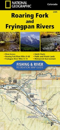
Roaring Fork and Fryingpan Rivers Fishing and River Recreation Map Guide
National GeographicThe National Geographic Roaring Fork and Fryingpan Rivers Fishing and River Recreational Map Guide is the perfect companion to anyone angling or recreating on either of these iconic Colorado rivers.
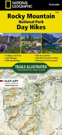
Rocky Mountain National Park Day Hikes Map
National GeographicDurably made from waterproof and tear-resistant material, Trails Illustrated Rocky Mountain National Park Day Hikes map features 16 diverse hiking routes to explore in rich, topographic detail.
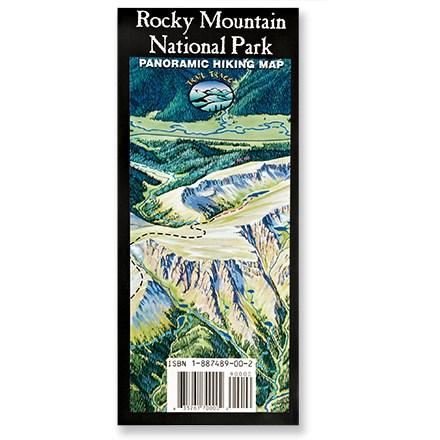
Rocky Mountain National Park Map
Trail TracksA trail map for the rest of us! Trail Tracks panoramic hiking trail map of Rocky Mountain National Park shows a trail's difficulty with color-coding.

Rocky Mountain National Park Topographic Map Pack
National GeographicThe Trails Illustrated Rocky Mountain National Park topographic map pack includes 2 maps: an overview map of the entire national park and an enlarged map focusing on Longs Peak.
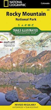
Rocky Mountain National Park Trail Map
National GeographicThis National Geographic Trails Illustrated folded map offers comprehensive coverage of Rocky Mountain National Park in Colorado.
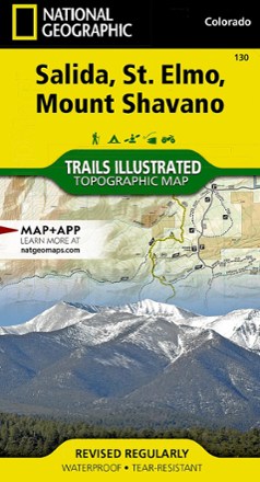
Salida / St. Elmo / Shavano Peak Topographic Map
National GeographicThe Trails Illustrated Salida / St. Elmo / Shavano Peak topographic map offers unparalleled detail for outdoor enthusiasts exploring this area in the heart of Colorado's San Isabel National Forest.

Salida Buena Vista Trails Map - 5 Edition
Latitude 40 MapsReady to explore in the heart of the Rockies? Full of trails for mountain biking, hiking, OHV and fishing, this Latitude 40 Maps Salida Buena Vista Trails map is an ideal adventure buddy.
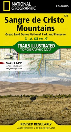
Sangre De Cristo Mountains Trail Map
National GeographicThis detailed Trails Illustrated map from National Geographic offers comprehensive coverage of the beautiful Sangre de Cristo mountains in Colorado.
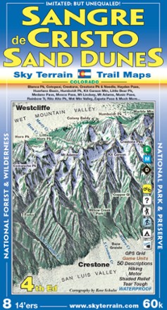
Sangre de Cristo and Great Sand Dunes Trail Map - 4th Edition
Sky Terrain Trail MapsWith an area that includes 8 Fourteeners and 53 Thirteeners, you'll find spectacular scenery on the trails with the pocket-size Sky Terrain Sangre de Cristo and Great Sand Dunes Trail Map.
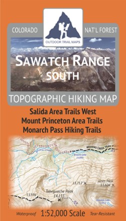
Sawatch Range South Topographic Map
Outdoor Trail MapsLightweight, waterproof, tough and compact, this Sawatch Range South topographic map shows all of the hiking trails in and around the southern Sawatch Mountain Range in central Colorado.