Rocky Mountain National Park Map
Tech Specs
Specifications are maintained on Pack4Back GearDB (community edits and revision history). Values may differ from the manufacturer or your unit—verify before buying.
Description
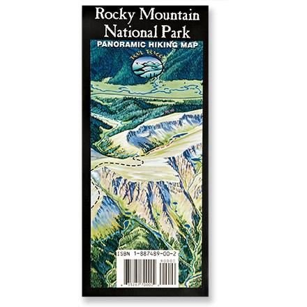
A trail map for the rest of us! Trail Tracks panoramic hiking trail map of Rocky Mountain National Park shows a trail's difficulty with color-coding.
Features
- Beautifully illustrated panoramic color map of Rocky Mountain National Park is printed on water- and tear-resistant paper for rugged use
- Western view of park reveals a multitude of trail destinations, color-coded by difficulty and fully indexed for easy location on map
- Index of trails includes elevation at trailhead, destinations, one-way distance, elevation gain and difficulty rating
- Easy (Green), Moderate (Blue) and Difficult (Black) trails listed in separate indexes for finding trails that suit your needs
- Includes park contact information and regulations, along with helpful information on seasonal patterns, mountain weather, and backcountry safety
- Copyright 1994, revised 2005; Fern/Horn Endeavors
- Opens to 35 x 27 inches from a folded size of 9 x 4 inches