Filters
No categories available
No brands available
California Maps
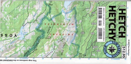
Hetch Hechy Map
Tom Harrison CartographyTake a deep dive into a popular area of Yosemite National Park with the Tom Harrison Cartography Hetch Hechy map. The full color map highlights the hiking trails around Hetch Hetchy Reservoir.
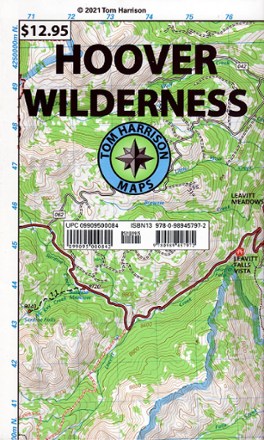
Hoover Wilderness Map
Tom Harrison CartographyReady to explore the Sierra Nevada? You'll want this Tom Harrison Cartography trail map to guide you to some of the best hiking trails in the Hoover Wilderness northeast of Yosemite.
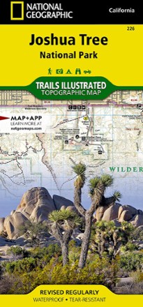
Joshua Tree National Park Trail Map
National GeographicThis National Geographic Trails Illustrated folded map offers comprehensive coverage of Joshua Tree National Park in California.
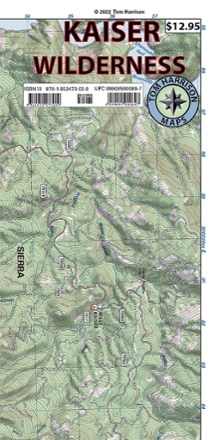
Kaiser Wilderness Map
Tom Harrison CartographyGet off the beaten path with the Tom Harrison Cartography Kaiser Wilderness map. Explore the trails and other recreation opportunities around Huntington Lake with this full color map.
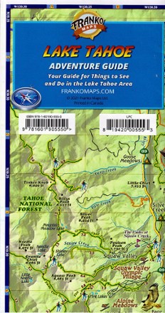
Lake Tahoe Adventure Guide
Franko's MapsSituated on the border between California and Nevada, this large, deep, blue mountain lake is an outdoor adventure paradise. Discover it all with Franko's Maps Lake Tahoe Adventure Guide.
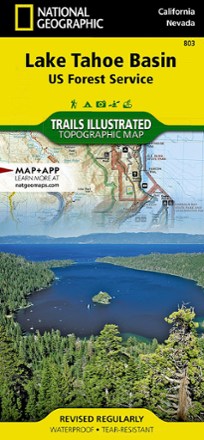
Lake Tahoe Basin Trail Map
National GeographicThis Trails Illustrated folded map offers comprehensive coverage of the Lake Tahoe Basin.

Lake Tahoe Basin Trail Map - 2020
Adventure MapsThe Adventure Maps Lake Tahoe Basin Trail Map is a waterproof, topographic map (lat/long, UTM grids) that includes detailed route descriptions for Tahoe area trails to ride, run, hike and XC ski.
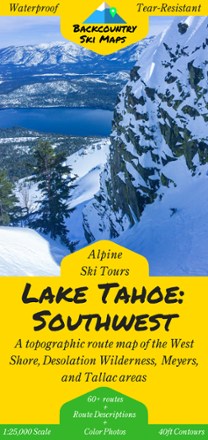
Lake Tahoe: Southwest and West Shore Backcountry Ski Map
Set fresh tracks with the Lake Tahoe: Southwest Backcountry Ski Map as your guide to over 60 routes in Tahoe's Southwest backcountry and the area's best descents and thrill-seeking experiences.
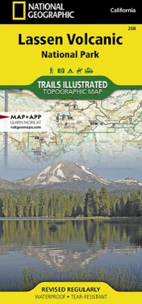
Lassen Volcanic National Park Topographic Map
National GeographicThe expertly researched Trails Illustrated Lassen Volcanic National Park topographic map is a valuable tool for exploring the park's fumaroles, hot springs, mud pots, mountain lakes and forests.
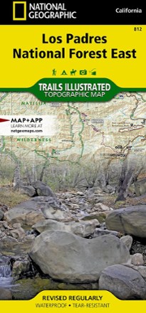
Los Padres National Forest East Trail Map
National GeographicThe National Geographic Los Padres National Forest East trail map leads you through amazing recreation opportunities in one of California's most diverse forests.

Los Padres National Forest West Map
National GeographicThe Trails Illustrated Los Padres National Forest West map guides you through diverse ecosystems and scenic wildlife habitats, from wild seacoasts to forests, grasslands and semi-desert areas.
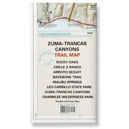
Malibu Creek State Park Trail Map
Tom Harrison CartographyShaded-relief topo map of Malibu Creek, Castro Crest, Corral Canyon, Backbone Trail, Solstice Canyon and Paramount Ranch.
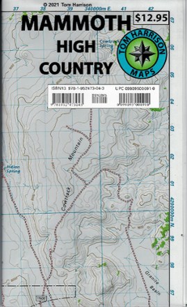
Mammoth High Country Trail Map
Tom Harrison CartographyReady to explore the Mammoth high country? You'll want this Tom Harrison Cartography Mammoth High Country Trail Map to guide you to the best hiking trails.
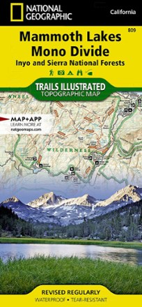
Mammoth Lakes and Mono Divide Trail Map
National GeographicThis detailed Trails Illustrated folded map offers colorful, comprehensive coverage of Mammoth Lakes and Mono Divide in California.