Malibu Creek State Park Trail Map
Tech Specs
Specifications are maintained on Pack4Back GearDB (community edits and revision history). Values may differ from the manufacturer or your unit—verify before buying.
Description
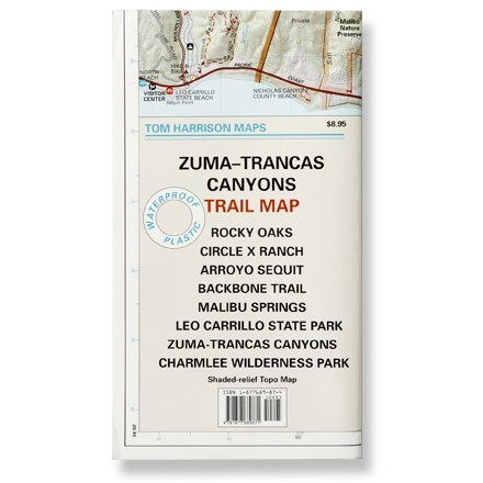
Shaded-relief topo map of Malibu Creek, Castro Crest, Corral Canyon, Backbone Trail, Solstice Canyon and Paramount Ranch.
Features
- Features color-coded symbols and trails, mileages between trail junctions, latitude and longitude, contour lines, UTMs and up-to-date elevations
- Measures 24 x 18 inches; folds to 8 x 4.5 inches; single-sided
- 1:31,680 scale; contour interval 50 feet; 1 inch represents 0.5 mile
- Printed on waterproof plastic
- Tom Harrison Maps; 2005