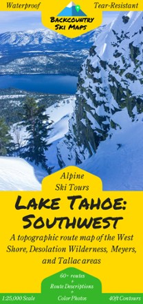
Lake Tahoe: Southwest and West Shore Backcountry Ski Map
Tech Specs
Specifications are maintained on Pack4Back GearDB (community edits and revision history). Values may differ from the manufacturer or your unit—verify before buying.
Description
Set fresh tracks with the Lake Tahoe: Southwest Backcountry Ski Map as your guide to over 60 routes in Tahoe's Southwest backcountry and the area's best descents and thrill-seeking experiences.
Features
- This highly detailed topographic map with 40 ft. contour lines is printed on waterproof, tear-resistant, tree-free synthetic paper for durability and use in any conditions
- Covering West Shore, Desolation Wilderness, Meyers and Tallac backcountry areas, this map includes route guides to over 60 descents with detailed text and color photos
- Also includes suggested ascent routes to help get you up the hill as efficiently as possible
- The variety of descents—from steep, jaw-dropping couloirs to wide open glades—appeals to backcountry skiers of all skill levels