Filters
No categories available
No brands available
California Maps Deprecated
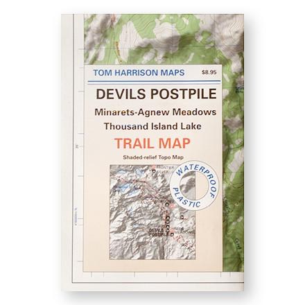
Devil's Postpile, Minarets-Agnew Meadows, Thousand Island Lake Trail Map
Tom Harrison CartographyShaded-relief topo map of the Devil's Postpile, Minarets-Agnew Meadows, Thousand Island Lake area printed on waterproof plastic
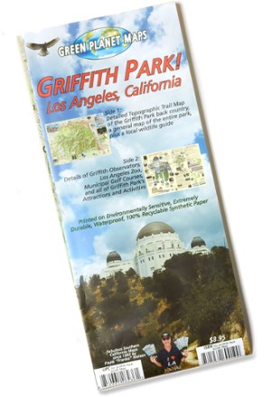
Griffith Park! Map
The Griffith Park! map from Green Planet Maps makes it easy to explore the trails, zoo, observatory, attractions and activities of this beloved and iconic Southern California park.
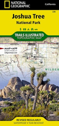
Joshua Tree National Park Trail Map
National GeographicThis National Geographic Trails Illustrated folded map offers comprehensive coverage of Joshua Tree National Park in California.
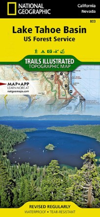
Lake Tahoe Basin Trail Map
National GeographicThis Trails Illustrated folded map offers comprehensive coverage of the Lake Tahoe Basin.
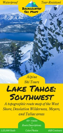
Lake Tahoe: Southwest and West Shore Backcountry Ski Map
Set fresh tracks with the Lake Tahoe: Southwest Backcountry Ski Map as your guide to over 60 routes in Tahoe's Southwest backcountry and the area's best descents and thrill-seeking experiences.
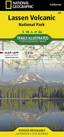
Lassen Volcanic National Park Topographic Map
National GeographicThe expertly researched Trails Illustrated Lassen Volcanic National Park topographic map is a valuable tool for exploring the park's fumaroles, hot springs, mud pots, mountain lakes and forests.
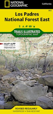
Los Padres National Forest East Trail Map
National GeographicThe National Geographic Los Padres National Forest East trail map leads you through amazing recreation opportunities in one of California's most diverse forests.

Los Padres National Forest West Map
National GeographicThe Trails Illustrated Los Padres National Forest West map guides you through diverse ecosystems and scenic wildlife habitats, from wild seacoasts to forests, grasslands and semi-desert areas.
Malibu Creek State Park Trail Map
Tom Harrison CartographyShaded-relief topo map of Malibu Creek, Castro Crest, Corral Canyon, Backbone Trail, Solstice Canyon and Paramount Ranch.
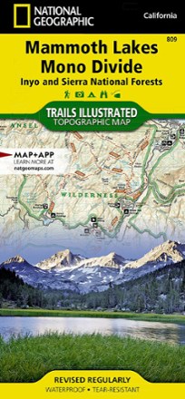
Mammoth Lakes and Mono Divide Trail Map
National GeographicThis detailed Trails Illustrated folded map offers colorful, comprehensive coverage of Mammoth Lakes and Mono Divide in California.
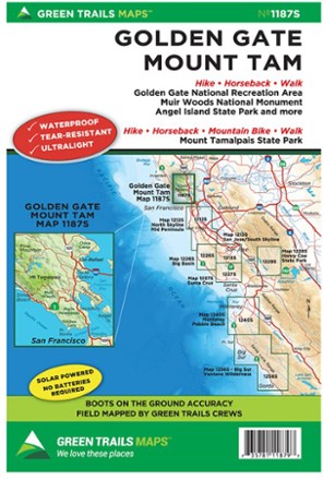
Map 1187S - Golden Gate, Mount Tam
Green TrailsThe Green Trails map for Golden Gate and Mount Tam map guides you to stunning views, fascinating topography and 400 miles of trails through the Marin Headlands, Mt. Tamalpais and Marin watershed.
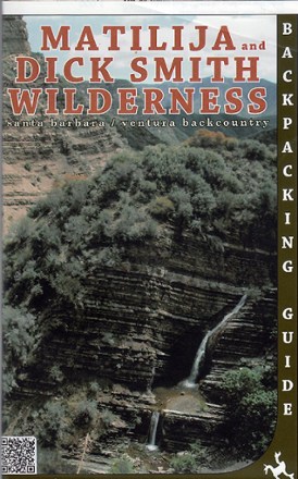
Matilija and Dick Smith Wilderness Map
Venture further into the wild backcountry of Santa Barbara and Ventura County with Matilija and Dick Smith Wilderness map guiding you way through these magnificent natural spaces.

Merced & Tuolumne Rivers Topographic Map
National GeographicThe Trails Illustrated Merced & Tuolumne Rivers topographic map is an essential travel companion for outdoor enthusiasts exploring this area just west of Yosemite National Park.