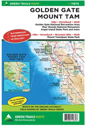
Map 1187S - Golden Gate, Mount Tam
Tech Specs
Specifications are maintained on Pack4Back GearDB (community edits and revision history). Values may differ from the manufacturer or your unit—verify before buying.
BrandGreen Trails
Best UseHiking
Folded Dimensions9 x 6 inches
Unfolded Dimensions30 x 22.5 inches
Map Scale1:24,000
WaterproofYes
PublisherGreen Trails Maps
Copyright Year2013
State / ProvinceCalifornia
Map Number1187S
Description
The Green Trails map for Golden Gate and Mount Tam map guides you to stunning views, fascinating topography and 400 miles of trails through the Marin Headlands, Mt. Tamalpais and Marin watershed.
Features
- Green Trails Maps show current trail, road and access information to national forests, national parks, state and local parks, and other public lands
- Printed on waterproof and tear-resistant paper, this map stands up to the rigors of your outdoor adventure