Filters
No categories available
No brands available
Southeast Maps
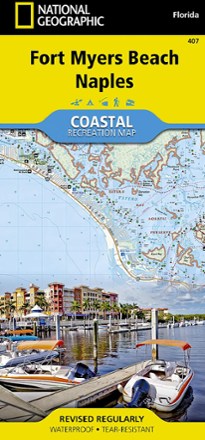
Fort Myers Beach and Naples Coastal Recreation Map
National GeographicLet the National Geographic Fort Myers Beach and Naples Coastal Recreation map guide you, both on land and on water, along the shorelines of southwest Florida.

French Broad Region Trail Guide
Pisgah Map CoDiscover a beautiful outdoor region along the North Carolina-Tennessee border where waterfalls abound with the detailed and obsessively researched Pisgah Map Co. French Broad Region Trail Guide.
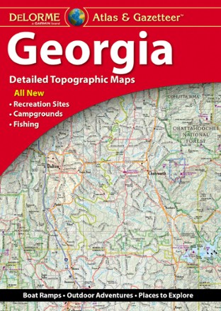
Georgia Atlas and Gazetteer
DeLormeWhether you're headed to the mountains or the coast, make the DeLorme Georgia Atlas and Gazetteer your road trip companion. The detailed maps make navigation and trip planning a breeze.
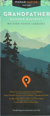
Grandfather Ranger District Map
Pisgah Map CoWith precisely drawn trails, the Grandfather Ranger District map offers topographic detail and map icons to guide you through spectacular natural features of North Carolina's Pisgah National Forest.
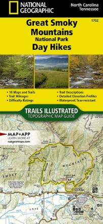
Great Smoky Mountains National Park Day Hikes Topographic Map Guide
National GeographicThe Trails Illustrated Great Smoky Mountains National Park Day Hikes topographic map guide includes 18 diverse hikes for all outdoor enthusiasts, from the short, easy treks to strenuous loops.
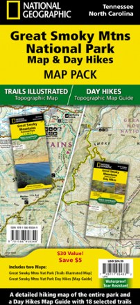
Great Smoky Mountains National Park Map & Day Hikes Map Pack
National GeographicWhether you want an easy day outing or an overnight excursion, with the National Geographic Great Smoky Mountains National Park Map & Day Hikes map pack you can confidently plan every hiking trip.
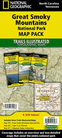
Great Smoky Mountains National Park Topographic Map Pack
National GeographicThe Trails Illustrated Great Smoky Mountains National Park topographic map pack includes an overview map of the entire park as well as 2 detailed maps of the east and west halves of the park.
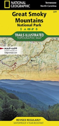
Great Smoky Mountains National Park Trail Map
National GeographicThis detailed National Geographic folded map offers colorful, concise coverage of Great Smoky Mountains National Park in Tenessee and North Carolina.

Green River Game Land Trail Guide
Pisgah Map CoExplore the river, multi-use trails, narrow gorges, steep ravines and beautiful forests of Western North Carolina's 18,000-acre playground with the Pisgah Map Co. Green River Game Land Trail Guide.
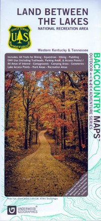
Land Between The Lakes Recreation Map
Discover a vast national recreation area in Kentucky and Tennessee with the Land Between The Lakes recreation map. This GPS-compatible topo map is packed with information on myriad outdoor activities.
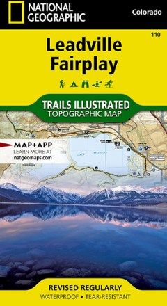
Leadville Fairplay Topographic Map
National GeographicThe Trails Illustrated Leadville Fairplay topographic map combines valuable information with unmatched detail of this popular destination for year-round recreation.

Lexington/Blue Ridge Mountains Trail Map
National GeographicThis colorful Trails Illustrated folded map offers detailed coverage of the Lexington and Blue Ridge Mountains areas in Virginia.
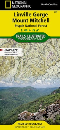
Linville Gorge / Mount Mitchell Topographic Map
National GeographicThe Trails Illustrated Linville Gorge / Mount Mitchell topographic map provides an unparalleled tool for exploring these remarkable features within Pisgah National Forest.
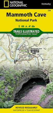
Mammoth Cave National Park Map
National GeographicExpertly researched and created with local land management agencies, this National Geographic Mammoth Cave National Park map provides detailed, accurate information to assist your exploration.