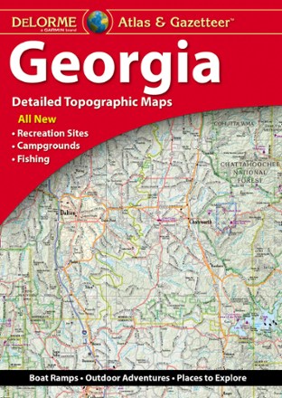
Georgia Atlas and Gazetteer
Tech Specs
Specifications are maintained on Pack4Back GearDB (community edits and revision history). Values may differ from the manufacturer or your unit—verify before buying.
BrandDeLorme
Best UseTravel
State / ProvinceGeorgia
Folded Dimensions15.5 x 11 x 1 inches
Unfolded Dimensions15.5 x 22 x 1 inches
Map Scale1:182,000
Double SidedYes
WaterproofYes
PublisherGarmin
Copyright Year2020
Description
Whether you're headed to the mountains or the coast, make the DeLorme Georgia Atlas and Gazetteer your road trip companion. The detailed maps make navigation and trip planning a breeze.
Features
- Detailed, large-format topographic maps
- Includes topographic maps with elevation contours, major highways and roads, dirt roads, trails and land use data
- Gazetteer section provides essential information on points of interest, landmarks, state and national parks, campgrounds, boat launches, historic sites, scenic drives and more