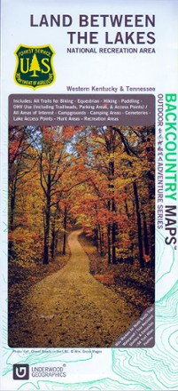
Land Between The Lakes Recreation Map
Tech Specs
Specifications are maintained on Pack4Back GearDB (community edits and revision history). Values may differ from the manufacturer or your unit—verify before buying.
Description
Discover a vast national recreation area in Kentucky and Tennessee with the Land Between The Lakes recreation map. This GPS-compatible topo map is packed with information on myriad outdoor activities.
Features
- Contains information about the available trails and services for hikes, cyclists, campers, paddlers and hunters, including boundaries and dates of opening and closing seasons
- Topographic map scaled to 1:45,000 with contour lines set every 20 ft. of elevation change; GPS compatible
- Partially sponsored by the U.S. Department of Agriculture