Filters
No categories available
No brands available
North America Maps

San Luis Obispo Region Recreation Map
Sierra MapsRevealing treasures hidden in plain sight, the Sierra Maps San Louis Obispo region recreation map is a handy guide for visitors looking to enjoy the area's many outdoor recreation opportunities.

San Rafael Swell Trail Map
National GeographicThis beautifully rendered Trails Illustrated folded map offers detailed coverage of Utah's San Rafael Swell area.
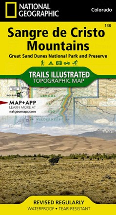
Sangre De Cristo Mountains Trail Map
National GeographicThis detailed Trails Illustrated map from National Geographic offers comprehensive coverage of the beautiful Sangre de Cristo mountains in Colorado.
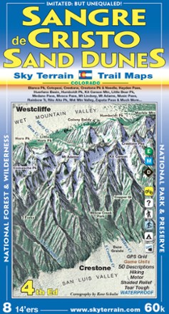
Sangre de Cristo and Great Sand Dunes Trail Map - 4th Edition
Sky Terrain Trail MapsWith an area that includes 8 Fourteeners and 53 Thirteeners, you'll find spectacular scenery on the trails with the pocket-size Sky Terrain Sangre de Cristo and Great Sand Dunes Trail Map.
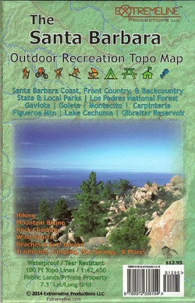
Santa Barbara Outdoor Recreation Topo Map
Designed with hikers, mountain biker, climbers and surfers in mind, Santa Barbara Outdoor Recreation Topo Map indicates areas of interest on the coast, in the front country and in the backcountry.

Santa Catalina Island Map
Franko's Maps26 miles from the coast of Los Angeles lies a dream come true for boaters, anglers, surfers and more. Explore the beauty of Santa Catalina Island with the help of this map from Franko's maps.

Santa Fe & Bandelier National Monument Trails Map
Map AdventuresFollow trails through historical adobe neighborhoods, forested foothills and high desert mesas with the Santa Fe & Bandelier National Monument Trails Map from Map Adventures.
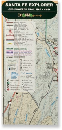
Santa Fe Explorer Trail Map
Discover the splendorous scenery and recreational possibilities around northern New Mexico with the Dharma Maps Santa Fe Explorer trail map, filled with plentiful trails and roads in rich topo detail.
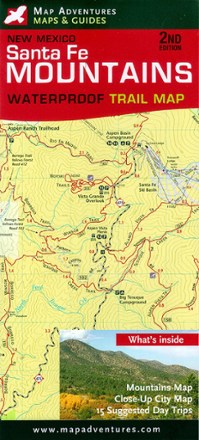
Santa Fe Mountains Waterproof Trail Map
Map AdventuresExperience the outdoor beauty around New Mexico's capital city—an area that boasts an average of 300 days of sunshine a year—with the Map Adventures Santa Fe Waterproof Trail Map as your guide.
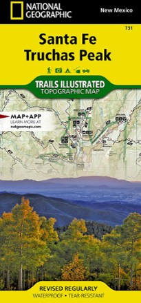
Santa Fe and Truchas Peak Topographic Map
National GeographicThe Trails Illustrated Santa Fe and Truchas Peak topographic map covers Santa Fe's wide range of public recreation lands with unparalleled detail.
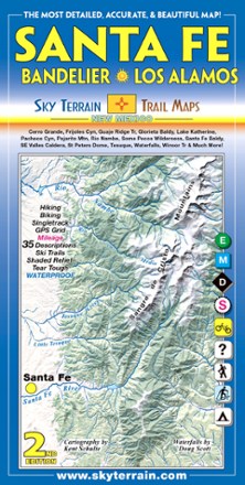
Santa Fe, Bandelier and Los Alamos Trail Map - 2nd Edition
Sky Terrain Trail MapsTrek your way through the vast open spaces, parks, forests and wilderness of New Mexico with the waterproof, pocket-size Sky Terrain Santa Fe Bandelier and Los Alamos Trail Map.
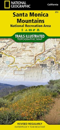
Santa Monica Mountains National Recreation Area
National GeographicThis colorful Trails Illustrated folded map offers comprehensive coverage of the Santa Monica Mountains National Recreation Area in California.
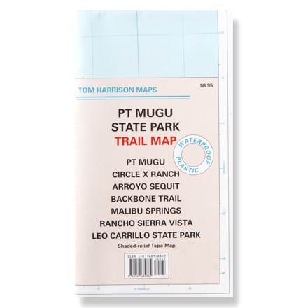
Santa Monica Point Mugu State Park
Tom Harrison CartographyThis shaded-relief topographic map details the trails of Point Mugu, Circle X Ranch, Arroyo Sequit and other Santa Monica area trails.
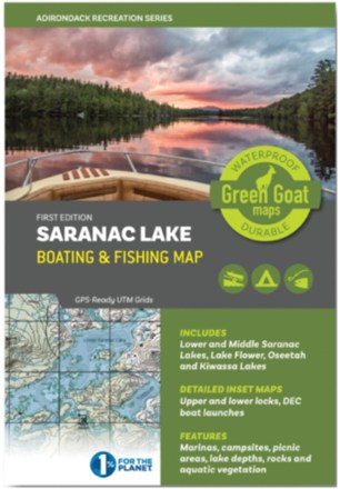
Saranac Lake Boating & Fishing Map
Green Goat MapsShowing you water depths and campsites plus rocks, vegetation beds and navigation buoys, this Green Goat Saranac Lake Boating & Fishing map helps anglers and paddlers explore the area with confidence.