Santa Monica Point Mugu State Park
Tech Specs
Specifications are maintained on Pack4Back GearDB (community edits and revision history). Values may differ from the manufacturer or your unit—verify before buying.
Description
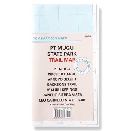
This shaded-relief topographic map details the trails of Point Mugu, Circle X Ranch, Arroyo Sequit and other Santa Monica area trails.
Features
- Waterproof map unfolds to 24 x 18 inches, single-sided; folds to 8 x 4.5 inches
- Features color-coded symbols and trails, mileage between trail junctions, latitude/longitude, contour lines, UTMs and up-to-date elevations
- Map scale: 1:31,680; contour interval: 50 feet
- Tom Harrison Maps; copyright 2005