Filters
No categories available
No brands available
North America Maps
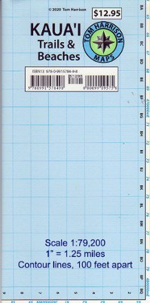
Kaua'i Trails and Beaches Map
Tom Harrison CartographyA paradise of adventure awaits! The Tom Harrison Cartography Kaua'i Trails and Beaches map takes you to scenic beaches and trails of the Hawaiian island of Kaua'i.
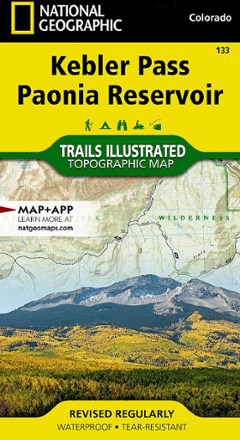
Kebler Pass / Paonia Reservoir Topographic Map
National GeographicThe Trails Illustrated Kebler Pass / Paonia Reservoir topographic map offers outdoor enthusiasts unparalleled detail of this untamed mountainous area with endless recreational opportunities.
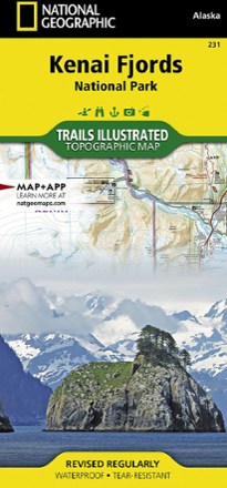
Kenai Fjords National Park Topographic Map
National GeographicExpertly researched and highly detailed, this National Geographic Kenai Fjords National Park topographic map will guide your explorations on both land and water.
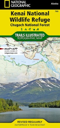
Kenai National Wildlife Refuge/Chugach National Forest Topographic Map
National GeographicThis expertly researched National Geographic Kenai National Wildlife Refuge topographic map contains an abundance of information on the recreational opportunities in this expansive, biodiverse area.
Killington Area Trail Map
Green Mountain ClubGet even closer to Vermont's lush forested areas with the Green Mountain Club Killington Area trail map in hand and on-trail. This dual-sided, weatherproof map folds up easily to fit in a back pocket.

Kremmling / Granby Topographic Map
National GeographicThe Trails Illustrated Kremmling / Granby topographic map delivers unmatched detail and valuable information to assist you in your exploration of this popular Colorado recreational area.
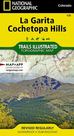
La Garita / Cochetopa Hills Topographic Map
National GeographicThe Trails Illustrated La Garita / Cochetopa Hills topographic map provides unmatched detail of this mountainous and forested area in southern Colorado.
Lake Crescent, Happy Lake Ridge, Washingon Topo-Map
Custom CorrectA custom correct topographic map of the Lake Crescent, Happy Lake Ridge area of Olympic National Park in Washington State

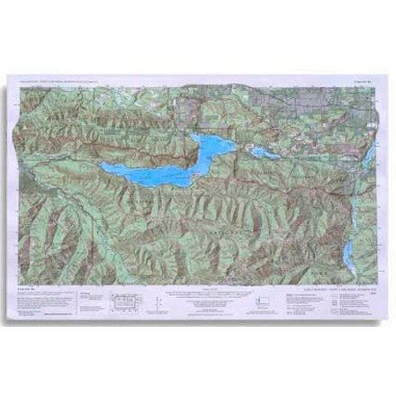
Lake George Boating & Trails Map
Green Goat MapsDetailing water depths, shoals, rocks, picnic areas and campsites, this Lake George Boating & Trails map from Green Goat Maps is the only guide you need to get out and enjoy your time by the lake.
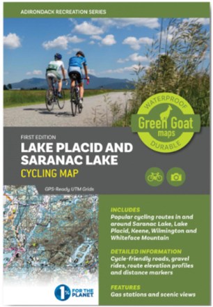
Lake Placid and Saranac Lake Cycling Map
Green Goat MapsReady to explore the Adirondacks on 2 wheels? This Lake Placid and Saranac Lake Cycling map guides you through training routes, recreational rides and to the best spots to catch views in the area.
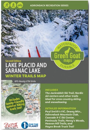
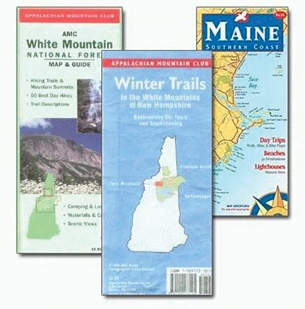
Lake Placid and Saranac Lake Winter Trails Map
Green Goat MapsPart of the Adirondack Recreation Series, this Green Goat Maps Lake Placid and Saranac Lake Winter Trails map is your guide to the area's cross-country ski, snowshoe and fat bike trails, and more.
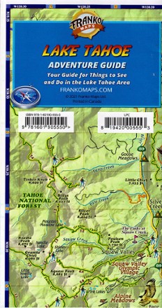
Lake Tahoe Adventure Guide
Franko's MapsSituated on the border between California and Nevada, this large, deep, blue mountain lake is an outdoor adventure paradise. Discover it all with Franko's Maps Lake Tahoe Adventure Guide.
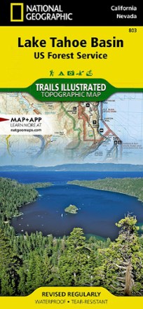
Lake Tahoe Basin Trail Map
National GeographicThis Trails Illustrated folded map offers comprehensive coverage of the Lake Tahoe Basin.

Lake Tahoe Basin Trail Map - 2020
Adventure MapsThe Adventure Maps Lake Tahoe Basin Trail Map is a waterproof, topographic map (lat/long, UTM grids) that includes detailed route descriptions for Tahoe area trails to ride, run, hike and XC ski.