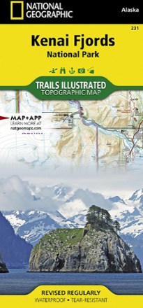


Kenai Fjords National Park Topographic Map
Tech Specs
Specifications are maintained on Pack4Back GearDB (community edits and revision history). Values may differ from the manufacturer or your unit—verify before buying.
BrandNational Geographic
Best UseHiking
State / ProvinceAlaska
Folded Dimensions9.25 x 4.25 inches
Unfolded Dimensions37.75 x 25.5 inches
Map Scale1:110,000
Double SidedYes
WaterproofYes
PublisherNational Geographic
Copyright Year2019
Map Number231
Description
Expertly researched and highly detailed, this National Geographic Kenai Fjords National Park topographic map will guide your explorations on both land and water.
Features
- Created in partnership with the National Park Service, U.S. Forest Service and others
- Includes trailheads, campgrounds, public cabins, food storage lockers, ski trails, waterfalls and scenic viewpoints
- Includes sounding information, tidal flats, boating hazard areas, island locations, seabed formation warnings, beacons, anchorage spots and boat ramps for boaters and kayakers
- Clearly marks trails with mileage markers for hikers, bikers and ATVers
- Shows contour lines, elevations and labeled peaks, glaciers and crevasses
- Marks the Iditarod National Historic Trail and Seward Highway Scenic Byway
- Inset maps of Exit Glacier and Seward provide extra detail of these areas
- Provides background information, QR codes for real-time weather and essential contact information
- Covers popular recreation and adventure points of interest such as Harding Icefield, Exit Glacier, Resurrection River and Bay and the adjacent Kenai National Wildlife Refuge
- Full UTM grid is printed on the map to aid with navigation
- Printed on Backcountry Tough waterproof, tear-resistant paper
- Your purchase helps support National Geographic Society nonprofit's mission of research, education, conservation and exploration