Lake Placid and Saranac Lake Cycling Map
Tech Specs
Specifications are maintained on Pack4Back GearDB (community edits and revision history). Values may differ from the manufacturer or your unit—verify before buying.
BrandGreen Goat Maps
Best UseCycling
State / ProvinceNew York
Folded Dimensions6 x 4 x 0.5 inches
Unfolded Dimensions24 x 18 inches
Map Scale1:65,000
Double SidedYes
WaterproofYes
PublisherGreen Goat Maps
Copyright Year2018
Description
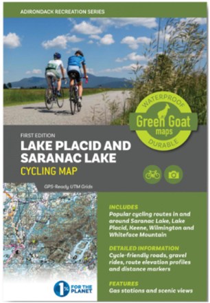
Ready to explore the Adirondacks on 2 wheels? This Lake Placid and Saranac Lake Cycling map guides you through training routes, recreational rides and to the best spots to catch views in the area.
Features
- Covers cycling routes from Paul Smith's to Keene Valley and includes routes around Whiteface Mountain
- Detailed route profiles show distances and elevation gains
- Through a partnership with the Adirondack Land Trust, this map highlights open space, views and land conservation
- Printed on waterproof HopSyn material that's durable and tear-resistant
- Green Goat Maps gives 1% back to nonprofits through 1% for the Planet