Filters
No categories available
No brands available
North America Maps

East Hudson Trails Map Set - 12th Edition
New York New Jersey TrailExplore the rich forests of the Hudson Highlands with the 12th edition of the East Hudson Trails map set. This 3-map set features more than 150 miles of trails.
North America MapsNew England and Mid Atlantic Maps - DEPRECATED
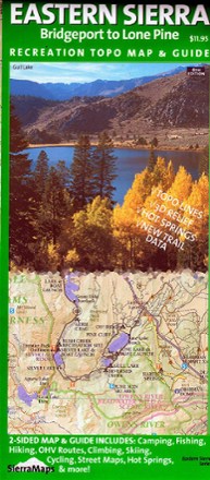
Eastern Sierra Recreation Topo Map & Guide - 6th Edition
Sierra MapsFrom Lone Pine to Bridgeport, discover the grandeur of the Eastern Sierra Nevada region—home to Whitney Portal and its towering peaks—with the Sierra Maps Eastern Sierra Recreation Topo Map & Guide.
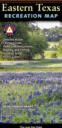
Eastern Texas Recreation Map
Benchmark MapsShowing the richness of recreation potential in the Lone Star State, this Benchmark Maps Eastern Texas Recreation map is a must-have for traveling around the country's second largest state.
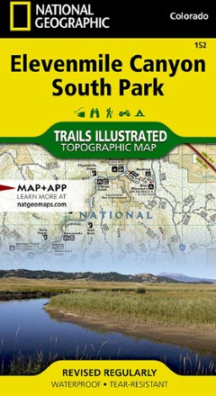
Elevenmile Canyon South Park Topographic Map
National GeographicThis expertly researched and highly detailed National Geographic Elevenmile Canyon South Park topographic map will aid your exploration whether on foot, horseback, bike, motorcycle, ATV or snowmobile.
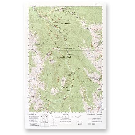
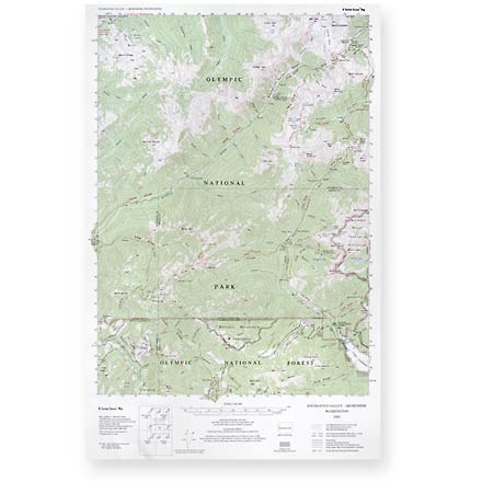
Elwha Valley Map
Custom CorrectThis topographic trail map to the Elwha Valley of Olympic National Park is a highly detailed reference for route finding.

Emigrant Wilderness Map
Tom Harrison CartographyDiscover the hiking trails of California's Emigrant Wilderness—located just north of Yosemite National Park—with this map from Tom Harrison Cartography.
Enchanted Valley - Skokomish Map
Custom CorrectThis topographic trail map to the Enchanted and Skokomish Valleys of Olympic National Park is a highly detailed reference for route finding.
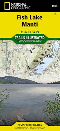
Fish Lake Manti Topographic Map
National GeographicExplore Fish Lake, the town of Manti and the Utah landscape around it with the National Geographic Fish Lake Manti Topographic Map. It includes hiking trails, OHV trails and a scenic backway.
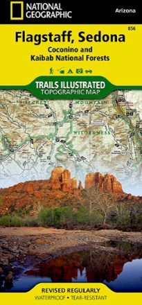
Flagstaff / Sedona Topographic Map
National GeographicExplore Northern Arizona's pine forests, picturesque mountains, steep canyons, and red-rock buttes with the Trails Illustrated Flagstaff / Sedona topographic map.
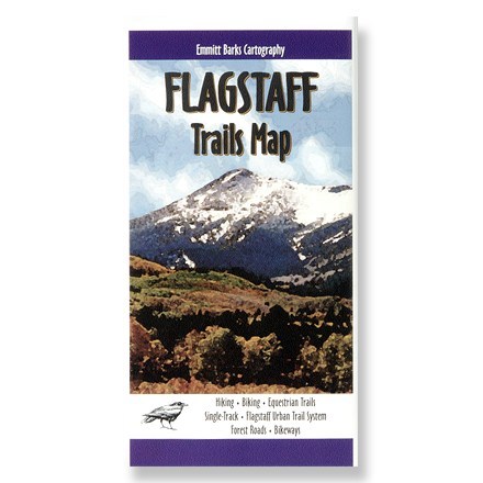
Flagstaff Trails Map H2O
Explore the awesome beauty that is Flagstaff, Arizona! This topo map provides detailed trail information, roads and campground locations.

Flaming Gorge/Eastern Uintas Trail Map
National GeographicThis detailed Trails Illustrated map offers comprehensive coverage of Utah's Flaming Gorge National Recreation Area and eastern Uintas.
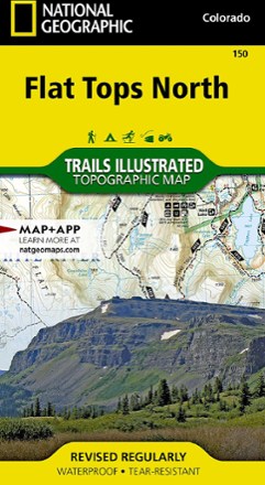
Flat Tops North Topographic Map
National GeographicYour key to adventuring in Colorado's second-largest wilderness, the Trails Illustrated Flat Tops North topographic map offers unmatched detail and valuable info to assist you in your exploration.

Flat Tops South Topographic Map
National GeographicThe Trails Illustrated map of Flat Tops South is your key to adventure in the southern region of Colorado's second largest wilderness area.
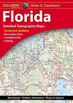
Florida Atlas & Gazetteer
DeLormeFrom the Everglades to the coast and everywhere between, the DeLorme Florida Atlas and Gazetteer shows you all the state has to offer for recreation and adventure when you're on the road.