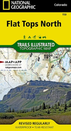


Flat Tops North Topographic Map
Tech Specs
Specifications are maintained on Pack4Back GearDB (community edits and revision history). Values may differ from the manufacturer or your unit—verify before buying.
BrandNational Geographic
Best UseHiking
Folded Dimensions7.5 x 4 inches
Unfolded Dimensions37.75 x 25.5 inches
Map Scale1:63,360
Double SidedYes
WaterproofYes
PublisherNational Geographic
Copyright Year2016
State / ProvinceColorado
Map Number150
Description
Your key to adventuring in Colorado's second-largest wilderness, the Trails Illustrated Flat Tops North topographic map offers unmatched detail and valuable info to assist you in your exploration.
Features
- Expertly researched and created in partnership with the U.S. Forest Service, Bureau of Land Management and other agencies
- Key areas of interest include Oak Ridge State Wildlife Area, North Fork White River, Flat Tops Trail Scenic Byway, Meeker, Trappers Lake and Yamcolo and Stillwater reservoirs
- Other areas covered on this map include Routt and White River national forests
- Clearly marked trails include mileage between intersections and are highlighted according to use
- Includes contour lines, shaded relief and elevations for summits, passes and many lakes
- Also includes campgrounds, fishing areas, whitewater access, boat launches, trailheads, interpretive sites, horse corrals, picnic areas and more
- Features survival tips and agency contacts
- Printed on durable, lightweight, waterproof and tear-resistant material that's designed to withstand all weather conditions