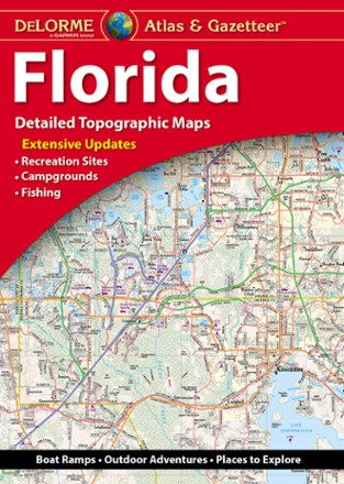
Florida Atlas & Gazetteer
Tech Specs
Specifications are maintained on Pack4Back GearDB (community edits and revision history). Values may differ from the manufacturer or your unit—verify before buying.
BrandDeLorme
Best UseTravel
Folded Dimensions15.5 x 11 x 1 inches
Unfolded Dimensions15.5 x 22 x 1 inches
Map Scale1:126,000
Double SidedYes
WaterproofYes
PublisherGarmin
Copyright Year2019
State / ProvinceFlorida
Description
From the Everglades to the coast and everywhere between, the DeLorme Florida Atlas and Gazetteer shows you all the state has to offer for recreation and adventure when you're on the road.
Features
- Incredibly detailed and beautifully crafted large-format paper maps are perfect for sightseeing, exploring back roads, outdoor recreation and trip planning
- While available information varies by state, DeLorme maps generally provide information essential for any outdoor enthusiast, including camping and fishing
- Includes info on points of interest, landmarks, state and national parks, campgrounds, boat launches, golf courses, historic sites, hunting zones, canoe trips and more
- Topographic maps have elevation contours, major highways and roads, dirt roads, trails and land-use data