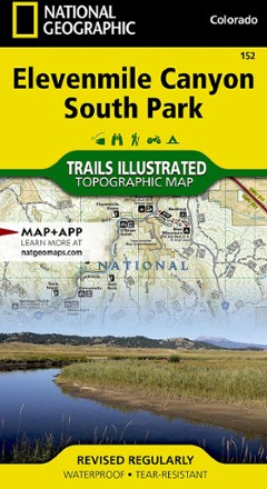


Elevenmile Canyon South Park Topographic Map
Tech Specs
Specifications are maintained on Pack4Back GearDB (community edits and revision history). Values may differ from the manufacturer or your unit—verify before buying.
BrandNational Geographic
Best UseHiking
State / ProvinceColorado
Folded Dimensions9.25 x 4.25 inches
Unfolded Dimensions37.75 x 25.5 inches
Map Scale1:63,360
Double SidedYes
WaterproofYes
PublisherNational Geographic
Copyright Year2019
Map Number152
Description
This expertly researched and highly detailed National Geographic Elevenmile Canyon South Park topographic map will aid your exploration whether on foot, horseback, bike, motorcycle, ATV or snowmobile.
Features
- Created in cooperation with the U.S. Forest Service and Colorado Parks
- Covers the area from Lost Creek Wilderness in the northeast to the city of Salida in the southwest
- Includes trailheads, campgrounds, public cabins, interpretive trails, climbing areas, boat ramps, whitewater access points, fishing areas and potable water
- Lists campgrounds in the Elevenmile Reservoir and Canyon areas along with their amenities
- Pinpoints recreation hotspots such as Pike and San Isabel National Forests, Spinney Mountain and Elevenmile State Parks, James Mark Jones State Wildlife Area and Platte River
- Trails are mapped with mileage markers between intersections
- Contour lines and elevations aid your navigation
- Labels peaks and summits, water features and a full road network, including Forest Service roads and scenic byways
- Clearly designates areas of public and private land
- Full UTM grid is printed on the map to aid with navigation
- Printed on Backcountry Tough waterproof, tear-resistant paper
- Your purchase helps support National Geographic Society nonprofit's mission of research, education, conservation and exploration