Filters
No categories available
No brands available
North America Maps

Delaware Water Gap and Kittatinny Trails Map
New York New Jersey TrailReady for a hike? This Delaware Water Gap and Kittatinny Trails map is a 4-map set that helps you explore the vast parklands along the Kittatinny Ridge and adjacent section of the Delaware River.
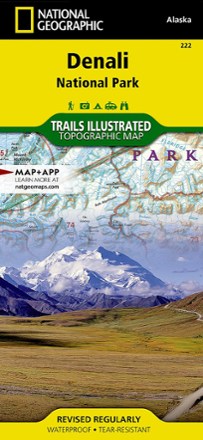
Denali National Park and Preserve Trail Map
National GeographicThis colorful Trails Illustrated folded map offers detailed coverage of Alaska's Denali National Park.
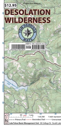
Desolation Wilderness Map
Tom Harrison CartographyGet your guide to one of the most popular backpacking ares in the Sierra Nevada. With the Tom Harrison Cartography Desolation Wilderness map, you can plan your next hike or backpacking trip with ease.
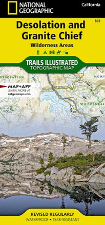
Desolation and Granite Chief Wilderness Areas Topographic Map
National GeographicIf you want to explore more remote corners of the Sierra, the National Geographic Desolation and Granite Chief Wilderness Areas topographic map will aid in your trip-planning and hiking adventures.
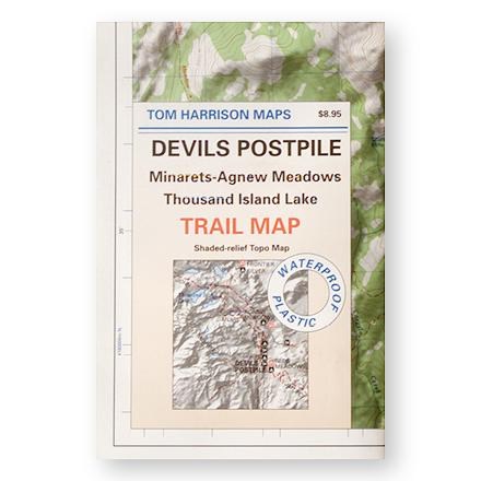
Devil's Postpile, Minarets-Agnew Meadows, Thousand Island Lake Trail Map
Tom Harrison CartographyShaded-relief topo map of the Devil's Postpile, Minarets-Agnew Meadows, Thousand Island Lake area printed on waterproof plastic
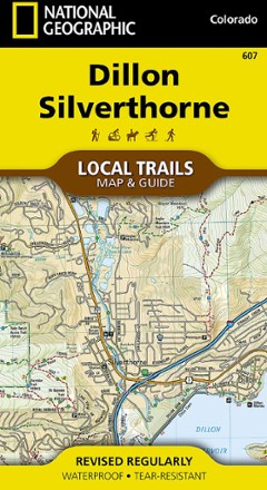
Dillon and Silverthorne Local Trails Map & Guide
National GeographicFind breathtaking views of the Gore and Tenmile ranges with the Dillon and Silverthorne Local Trails map and guide from National Geographic. These mountain towns are just minutes from many ski areas.
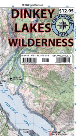
Dinkey Lakes Wilderness Map
Tom Harrison CartographyDon't leave on your next Sierra Nevada adventure without the Dinkey Lakes Wilderness map from Tom Harrison Cartography. The full color map highlights all the info you need to plan your next trip.
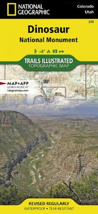
Dinosaur National Monument Topographic Map
National GeographicWith the Trails Illustrated Dinosaur National Monument topographic map in hand you can discover pieces of a long ago world where the largest land creatures of all time once roamed and died.

Dolly Sods and Seneca Rocks Lizard Map - 2nd Edition
Purple Lizard MapsWhether you're hiking or mountain biking, the Purple Lizard Dolly Sods and Seneca Rocks map helps you cover a lot of ground on numerous trails through West Virginia's beautiful wilderness areas.
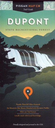
Dupont State Recreational Forest Map
Pisgah Map CoFeaturing popular waterfall hikes and 6 mountain biking routes, the easy-to-use Dupont State Recreational Forest map will help you hit the trail and explore Western North Carolina.
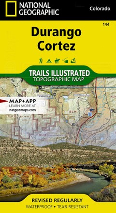
Durango/Cortez Trail Map
National GeographicThis informative Trails Illustrated map will help you plan trips to and explore the area in and around Durango and Cortez, Colorado.
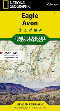
Eagle / Avon Topographic Map
National GeographicThe Trails Illustrated Eagle / Avon topographic map is the ultimate tool for exploring this region in the heart of the Colorado Rockies.
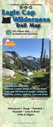
Eagle Cap Wilderness Trail Map - 2020
Adventure MapsThe Eagle Cap Wilderness Trail Map is a waterproof, topographic (lat/long, UTM grids) trail map that includes hiking descriptions covering the Wallowa Mountains, including the Eagle Cap Wilderness.
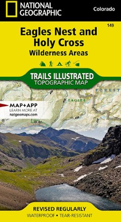
Eagles Nest and Holy Cross Wilderness Areas Topographic Map
National GeographicThe Trails Illustrated Eagles Nest and Holy Cross Wilderness Areas topographic map provides incredible detail of this scenic region in Colorado's Rocky Mountains.