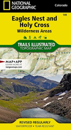


Eagles Nest and Holy Cross Wilderness Areas Topographic Map
Tech Specs
Specifications are maintained on Pack4Back GearDB (community edits and revision history). Values may differ from the manufacturer or your unit—verify before buying.
BrandNational Geographic
Best UseHiking
Folded Dimensions4 x 7.5 inches
Unfolded Dimensions37.75 x 25.5 inches
Map Scale1:63,360
WaterproofYes
Copyright Year2013
State / ProvinceColorado
Map Number149
Description
The Trails Illustrated Eagles Nest and Holy Cross Wilderness Areas topographic map provides incredible detail of this scenic region in Colorado's Rocky Mountains.
Features
- Expertly researched map was created in partnership with local land management agencies
- Covers Mount of the Holy Cross, Green Mountain and Dillon reservoirs, Blue and Eagle rivers, Turquoise Lake and Breckenridge, Cooper, Vail, Copper Mountain and Beaver Creek
- Easy-to-read, yet highly detailed map shows comprehensive trail and road networks, along with designated trails for hiking, horseback riding, biking and more
- Clearly marked navigational aids with UTM coordinate grids, scale bar and full legend, essential for safely navigating the backcountry with GPS or compass
- Features key points of interest such as scenic views, campgrounds, trailheads, boat launches and picnic sites
- Color-coded boundaries for public lands including national parks, national forests, national monuments, ranger districts, wilderness areas, state parks and wildlife refuges
- 1:63,360 scale
- Printed in the U.S.A. on a durable, lightweight, waterproof, tear-resistant material designed to withstand all weather conditions
- Folded dimensions: 4 x 7.5 in.; unfolded dimensions: 37.75 x 25.5 in.
- National Geographic Maps; copyright 2013