Filters
No categories available
No brands available
Mountain West Maps

Flaming Gorge/Eastern Uintas Trail Map
National GeographicThis detailed Trails Illustrated map offers comprehensive coverage of Utah's Flaming Gorge National Recreation Area and eastern Uintas.
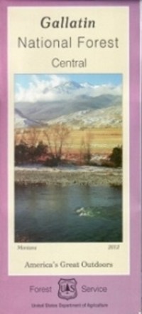
Gallatin National Forest - Central - Map
From fly fishing to epic hikes, there's an endless amount of outdoor adventure in the Gallatin national forest. Explore the forest's central portion with the help of the Gallatin National Forest map.
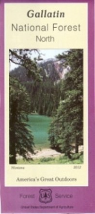
Gallatin National Forest - North - Map
Plan an adventure in the northern portion of Gallatin national forest with the help of the Gallatin National Forest map, featuring the rugged Bridger, Crazy and Bangtail mountains.
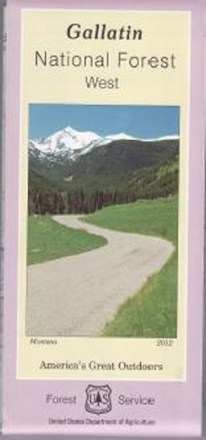
Gallatin National Forest - West - Map
Covering the Gallatin, Madison and Henry's Lake mountain ranges, the Gallatin National Forest - West - map helps you plan and prepare for an outdoor adventure in the forest's western region.

Glen Canyon NRA Topographic Map
National GeographicThe Trails Illustrated Glen Canyon NRA topographic map is a great reference for outdoor adventure and exploration in this distinctive region of Utah and Arizona.

Grand Gulch Plateau Trail Map
National GeographicThis waterproof Trails Illustrated map of Utah's Grand Gulch Plateau in the San Juan Resource Area is a great reference for exploration.

Grand Teton National Park & Jackson Hole Trail Map
Adventure MapsHike, bike and explore Wyoming's treasures with the richly detailed and waterproof Adventure Maps Grand Teton National Park & Jackson Hole map to guide your way.
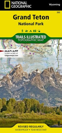
Grand Teton National Park Trail Map
National GeographicThis informative Trails Illustrated map will help you plan trips and explore the area in and around Wyoming's Grand Teton National Park.
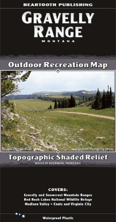
Gravelly Range, MT, Outdoor Recreation Map
Beartooth PublishingYour guide to one of the most remote, hidden areas in southern Montana, the Beartooth Publishing Gravelly Range map features 90 miles of dirt roads to ride, several peaks to climb and amazing views.
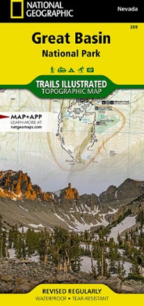
Great Basin National Park Topographic Map
National GeographicExpertly researched and created in partnership with the park, this National Geographic Great Basin National Park topo map is a valuable tool for exploring the area's natural beauty and solitude.
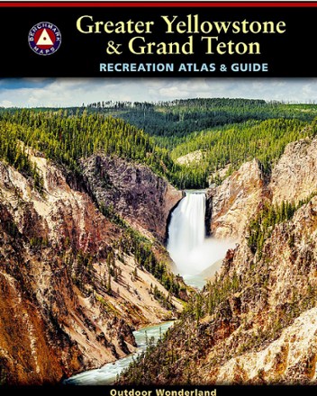
Greater Yellowstone & Grand Teton Recreation Atlas & Guide
Benchmark MapsSet out to explore unrivaled geologic wonder, dramatic landscapes and unique wildlife with the Benchmark Maps Greater Yellowstone & Grand Teton Recreation Atlas & Guide.
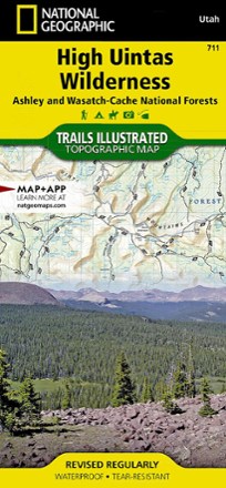
High Uintas Wilderness Topographic Map
National GeographicExplore the alpine vistas, glacier-formed lakes and Utah's highest peaks with the Trails Illustrated High Uintas Wilderness topographic map.
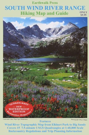
Hiking Map and Guide - South Wind River Range
Printed on waterproof plastic, this topographic map covers Elkhart Park to Big Sandy with backcountry regulations and trip planning information.
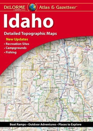
Idaho Atlas and Gazetteer
DeLormeWith over 25,000 miles of trails, there's plenty to explore in the mountainous Gem State. Plan your trip with help from the highly detailed and beautifully crafted DeLorme Idaho Atlas and Gazetteer.