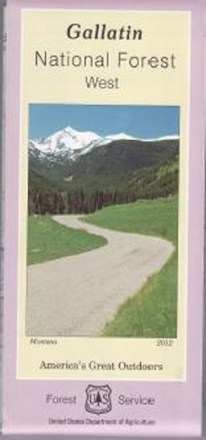
Gallatin National Forest - West - Map
Tech Specs
Specifications are maintained on Pack4Back GearDB (community edits and revision history). Values may differ from the manufacturer or your unit—verify before buying.
Description
Covering the Gallatin, Madison and Henry's Lake mountain ranges, the Gallatin National Forest - West - map helps you plan and prepare for an outdoor adventure in the forest's western region.
Features
- Features Hyalite canyon, Hebgen lake basin and the Lee Metcalf wilderness
- Printed on waterproof and tear-resistant material for durability
- Highlights recreation opportunities such as trails, campgrounds, boat launches and more
- Includes official US Forest Service district office contact information to check local conditions as well as township and range section numbers
- Federal, state and private land ownership boundaries are color-coded