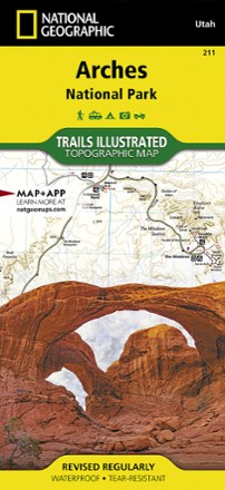


Arches National Park Trail Map
Tech Specs
Description
This adventure-ready Trails Illustrated map offers comprehensive coverage of Utah's Arches National Park in colorful, vivid detail.
Features
- Printed on durable, tear-resistant, waterproof material, this map can go virtually anywhere you go
- Covers multiple USGS quadrangles with the convenience of a single map
- Based on exact reproductions of USGS topo map information—updated, customized and enhanced to accurately detail the unique features of the area
- Highlights hiking trails, cross-country ski trails, bike trails, campgrounds and many other subjects of interest
- Measures 9.25 x 4.25 in. folded and 37.75 x 25.5 in. fully opened; scale of 1:35,000
- National Geographic Maps; copyright 1988 (revised 2005)