Filters
No categories available
No brands available
Media
Appalachian Trail: Swatara Gap to Delaware Water Gap Topographic Map Guide
National GeographicBring the detailed National Geographic Appalachian Trail: Swatara Gap to Delaware Water Gap topographic map guide when traversing the northeastern Pennsylvania section of the Appalachian Trail.
North America MapsNew England and Mid Atlantic Maps - DEPRECATED
Arches National Park Trail Map
National GeographicThis adventure-ready Trails Illustrated map offers comprehensive coverage of Utah's Arches National Park in colorful, vivid detail.
Arizona Atlas and Gazetteer
DeLormeFrom mining towns and dazzling deserts to the northern forests and deep canyons, the DeLorme Arizona Atlas and Gazetteer covers the entire Copper State in fine detail.
Arizona Highways Camping Guide
A quick-and-easy reference for car camping and family trips, Arizona Highways Camping Guide directs you to 100 of the best sites Arizona has to offer.
North America Hiking GuidebooksSouthwest Hiking Guidebooks - DEPRECATED
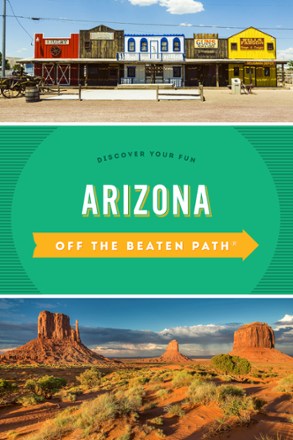
Arizona Off the Beaten Path Arizona - 8th Edition
Globe Pequot PressTired of the same old tourist traps? Whether you're a visitor or a local looking for something different, Arizona Off the Beaten Path shows you the Grand Canyon State you never knew existed.
Camping and Hiking GuidebooksNorth America Hiking Guidebooks
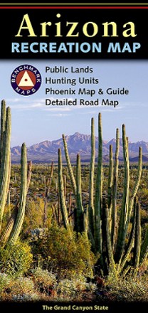
Arizona Recreation Map
Benchmark MapsThe Benchmark Maps Arizona Recreation Map guides you through the wonders of the Grand Canyon State with an award-winning design, generous page-to-page overlaps, GPS grids and easy-to-read symbols.
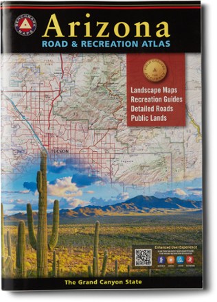
Arizona Road & Recreation Atlas - 12th Edition
Benchmark MapsThe Grand Canyon State abounds in natural beauty and outdoor possibilities. Discover it all with this Arizona Road & Recreation atlas from Benchmark Maps.
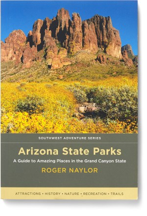
Arizona State Parks
Discover the scenic wonders and rich history of Arizona—and some of the best hiking, camping, fishing, boating, stargazing and wildlife observing around—with Arizona State Parks as your guidebook.
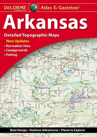
Arkansas Atlas and Gazetteer
DeLormeWhether you're looking for the scenic route or want to discover a new spot to explore, the DeLorme Arkansas Atlas and Gazetteer will be your go-to guide for planning trips around the Natural State.
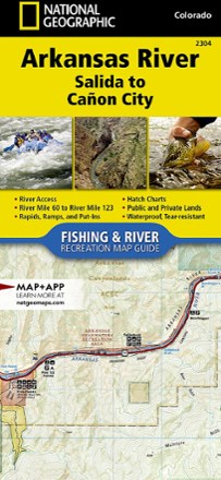
Arkansas River: Salida to Canon City Fishing and River Recreation Map Guide
National GeographicShowing every turn and rapid, the National Geographic Arkansas River: Salida to Canon City Fishing and River recreation map guide is the ideal resource for enjoying the Arkansas River in Colorado.
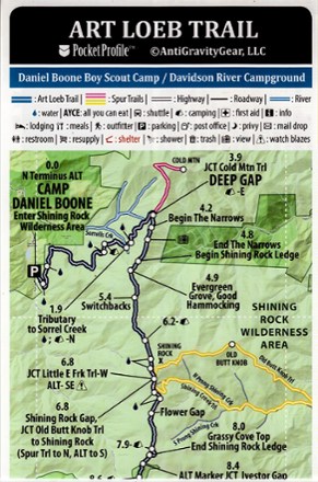
Art Loeb Trail Elevation Profile map
AntiGravityGearWeighing just 4 g, the pocket-size Art Loeb Trail Elevation Profile map from AntiGravityGear is loaded with all at-a-glance information you need for hiking all 30.1 miles of this North Carolina trail.

Art from Above - Cape Code
Schiffer PublishingDramatic and sometimes dizzying, Art from Above - Cape Code is a photographic collection resulting from the natural beauty of Cape Cod and a drone pilot who finds art everywhere he looks.
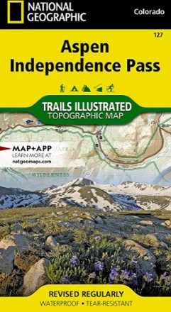
Aspen / Independence Pass Topographic Map
National GeographicThe Trails Illustrated Aspen / Independence Pass topographic map offers clear, detailed coverage of Aspen and Independence Pass in Colorado.

Aspen Local Trails Map & Guide
National GeographicWhere do the locals go when they want to take a short hike with the family or to push themselves with a heart-pounding trip? The National Geographic Aspen Local Trails map answers this question.