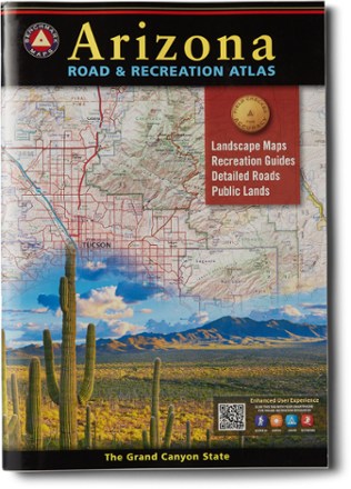


Arizona Road & Recreation Atlas - 12th Edition
Tech Specs
Specifications are maintained on Pack4Back GearDB (community edits and revision history). Values may differ from the manufacturer or your unit—verify before buying.
BrandBenchmark Maps
Best UseTravel
State / ProvinceArizona
Folded Dimensions15 x 11 inches
Unfolded Dimensions22 x 15 inches
Map Scale1:285,000 & 1:1,000,000
Double SidedYes
PublisherBenchmark Maps
Copyright Year2021
Map NumberBE0BENAZAT
Description
The Grand Canyon State abounds in natural beauty and outdoor possibilities. Discover it all with this Arizona Road & Recreation atlas from Benchmark Maps.
Features
- Features completely reworked Landscape Maps™ and a comprehensive Recreation Guide that make the atlas an invaluable resource for adventure planning and exploration
- Recreation Guide shows public land access and categorized points of interest with descriptions and details found in no other map product
- Landscape Maps provide the largest scale and 54 pages of highly detailed road classifications and conditions
- Base layers show land cover (vegetation) and land ownership, including private in-holdings within national forest boundaries
- Includes updated road conditions compiled from annual Motor Vehicle Use (MVU) data by U.S. Forest Service
- Displays Bureau of Land Management/state land ownership
- Page-to-page map overlap for clear legibility
- Map scales: Recreation Maps 1:1,000,000; Landscape Maps 1:285,000
- Categorized listings include: parks, monuments, natural wonders, campgrounds and RV parks, boating and fishing access, and forest and wildlife areas