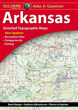
Arkansas Atlas and Gazetteer
Tech Specs
Specifications are maintained on Pack4Back GearDB (community edits and revision history). Values may differ from the manufacturer or your unit—verify before buying.
BrandDeLorme
Best UseTravel
State / ProvinceArkansas
Folded Dimensions15.5 x 11 x 8 inches
Unfolded Dimensions15.5 x 22 x 7 inches
Map Scale1:125,000
Double SidedYes
WaterproofYes
PublisherGarmin
Copyright Year2021
Description
Whether you're looking for the scenic route or want to discover a new spot to explore, the DeLorme Arkansas Atlas and Gazetteer will be your go-to guide for planning trips around the Natural State.
Features
- Detailed, large-format topographic maps
- Includes topographic maps with elevation contours, major highways and roads, dirt roads, trails and land use data
- Gazetteer section provides essential information on points of interest, landmarks, state and national parks, campgrounds, boat launches, historic sites, scenic drives and more