Filters
No categories available
No brands available
Maps
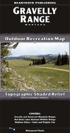
Gravelly Range, MT, Outdoor Recreation Map
Beartooth PublishingYour guide to one of the most remote, hidden areas in southern Montana, the Beartooth Publishing Gravelly Range map features 90 miles of dirt roads to ride, several peaks to climb and amazing views.
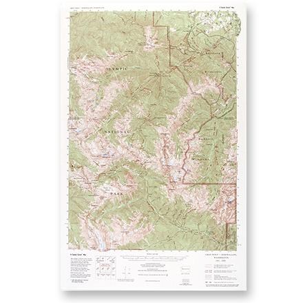
Gray Wolf - Dosewallips Map
Custom CorrectLarge-scale, topographic map of the Gray Wolf/Dosewallips area of Olympic National Park and Buckhorn Wilderness.
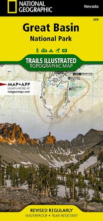
Great Basin National Park Topographic Map
National GeographicExpertly researched and created in partnership with the park, this National Geographic Great Basin National Park topo map is a valuable tool for exploring the area's natural beauty and solitude.
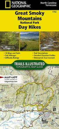
Great Smoky Mountains National Park Day Hikes Topographic Map Guide
National GeographicThe Trails Illustrated Great Smoky Mountains National Park Day Hikes topographic map guide includes 18 diverse hikes for all outdoor enthusiasts, from the short, easy treks to strenuous loops.
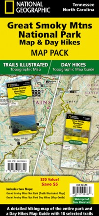
Great Smoky Mountains National Park Map & Day Hikes Map Pack
National GeographicWhether you want an easy day outing or an overnight excursion, with the National Geographic Great Smoky Mountains National Park Map & Day Hikes map pack you can confidently plan every hiking trip.
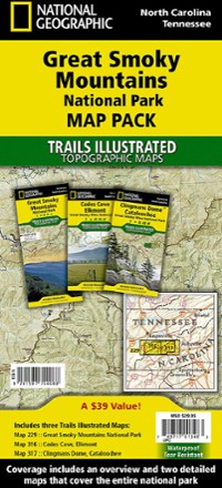
Great Smoky Mountains National Park Topographic Map Pack
National GeographicThe Trails Illustrated Great Smoky Mountains National Park topographic map pack includes an overview map of the entire park as well as 2 detailed maps of the east and west halves of the park.
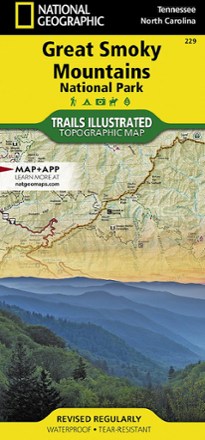
Great Smoky Mountains National Park Trail Map
National GeographicThis detailed National Geographic folded map offers colorful, concise coverage of Great Smoky Mountains National Park in Tenessee and North Carolina.
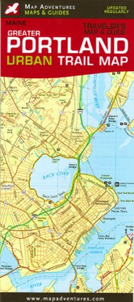
Greater Portland, Maine, Urban Trail Map
Map AdventuresPortland, Maine, has it all: New England charm, history, a thriving art scene and an edginess that keeps the city real. Find your way around with Map Adventures Greater Portland Urban Trail Map.
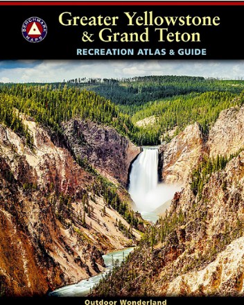
Greater Yellowstone & Grand Teton Recreation Atlas & Guide
Benchmark MapsSet out to explore unrivaled geologic wonder, dramatic landscapes and unique wildlife with the Benchmark Maps Greater Yellowstone & Grand Teton Recreation Atlas & Guide.
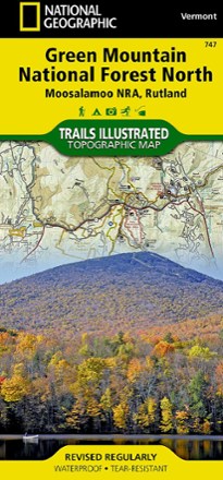
Green Mountain National Forest North Topographic Map
National GeographicThe Trails Illustrated Green Mountain National Forest North topographic map combines unmatched detail with helpful info to offer a valuable tool for making the most of your visit to this region.
North America MapsNew England and Mid Atlantic Maps - DEPRECATED
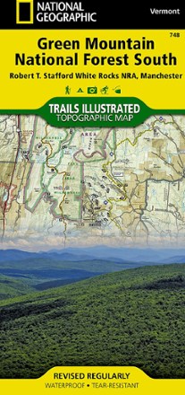
Green Mountain National Forest South Topographic Map
National GeographicThe Trails Illustrated Green Mountain National Forest South topographic map is the perfect travel companion for outdoor enthusiasts seeking to enjoy the 4-season recreation possibilities of the area.
North America MapsNew England and Mid Atlantic Maps - DEPRECATED
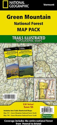
Green Mountain National Forest Topographic Map Pack
National GeographicThe Trails Illustrated Green Mountain National Forest topographic map pack is the perfect companion to anyone planning a trip to the stunning Green Mountains of Vermont.
North America MapsNew England and Mid Atlantic Maps - DEPRECATED

Green Mountain Reservoir/Ute Pass Trail Map
National GeographicThis detailed Trails Illustrated folded map offers comprehensive coverage of the Green Mountain Reservoir and Ute Pass areas in Colorado.

Green River Game Land Trail Guide
Pisgah Map CoExplore the river, multi-use trails, narrow gorges, steep ravines and beautiful forests of Western North Carolina's 18,000-acre playground with the Pisgah Map Co. Green River Game Land Trail Guide.