Filters
No categories available
No brands available
Maps
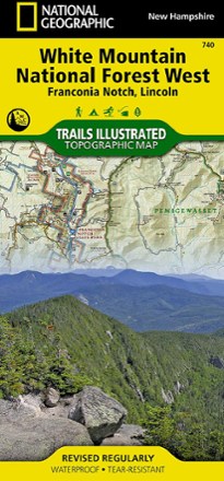
Franconia Notch/North Conway Trail Map
National GeographicThis detailed National Geographic Trails Illustrated folded map offers comprehensive coverage of Franconia Notch and Lincoln in New Hampshire.
North America MapsNew England and Mid Atlantic Maps - DEPRECATED

Franko's Hawaiian Islands Guide Map
Franko's MapsBeautifully rendered, shaded-relief imagery is combined with the information you need to get the most out of your exploration of the Hawaiian Islands.

French Broad Region Trail Guide
Pisgah Map CoDiscover a beautiful outdoor region along the North Carolina-Tennessee border where waterfalls abound with the detailed and obsessively researched Pisgah Map Co. French Broad Region Trail Guide.
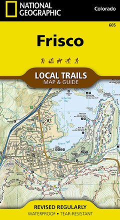
Frisco Local Trails Map & Guide
National GeographicFind year-round opportunities for adventure with this National Geographic Local Trails map and guide of Frisco, Colorado—located at the core of the aptly named Summit County.
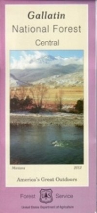
Gallatin National Forest - Central - Map
From fly fishing to epic hikes, there's an endless amount of outdoor adventure in the Gallatin national forest. Explore the forest's central portion with the help of the Gallatin National Forest map.
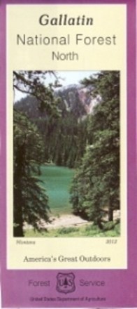
Gallatin National Forest - North - Map
Plan an adventure in the northern portion of Gallatin national forest with the help of the Gallatin National Forest map, featuring the rugged Bridger, Crazy and Bangtail mountains.
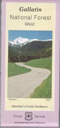
Gallatin National Forest - West - Map
Covering the Gallatin, Madison and Henry's Lake mountain ranges, the Gallatin National Forest - West - map helps you plan and prepare for an outdoor adventure in the forest's western region.
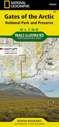
Gates of the Arctic National Park and Preserve Trail Map
National GeographicThis Trails Illustrated folded map offers concise, comprehensive coverage of the Gates of the Arctic National Park and Preserve Trail areas in Alaska.
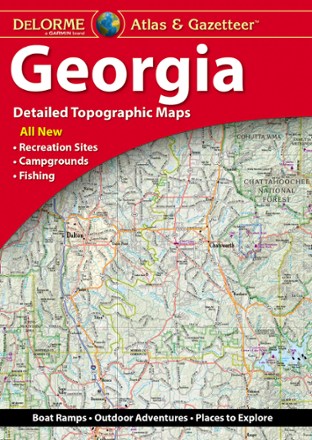
Georgia Atlas and Gazetteer
DeLormeWhether you're headed to the mountains or the coast, make the DeLorme Georgia Atlas and Gazetteer your road trip companion. The detailed maps make navigation and trip planning a breeze.
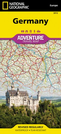
Germany Adventure Travel Map
National GeographicWhether you're touring the country's scenic terrain, cosmopolitan cities or iconic historical sites, the National Geographic Germany Adventure travel map will help you confidently travel and explore.
Glacier Bay National Park and Preserve Trail Map
National GeographicThe National Geographic Trails Illustrated Glacier Bay National Park and Preserve trail map offers clear, detailed coverage of this part of southern Alaska's amazing landscape.

Glacier Peak Wilderness Topographic Map
National GeographicThe Trails Illustrated Glacier Peak Wilderness topographic map is an essential travel companion for outdoor enthusiasts exploring this rugged area of Washington state's North Cascades.

Glacier and Waterton Lakes National Parks Outdoor Recreation Map - 2nd Edition
Cairn CartographicsPlan your trip using this Cairn Cartographics map. It covers Montana's Glacier National Park, Alberta's Waterton Lakes National Park and The North Fork of the Flathead River in excellent detail.
Glacier/Waterton Lakes National Parks Trail Map
National GeographicThis Trails Illustrated folded map offers comprehensive coverage of Glacier and Waterton Lakes national parks in Montana and Alberta.