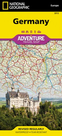


Germany Adventure Travel Map
Tech Specs
BrandNational Geographic
Best UseTravel
Folded Dimensions9.25 x 4.25 inches
Unfolded Dimensions37.75 x 25.5 inches
Map Scale1:825,000
Double SidedYes
WaterproofYes
PublisherNational Geographic
Copyright Year2022
Map Number3312
Description
Whether you're touring the country's scenic terrain, cosmopolitan cities or iconic historical sites, the National Geographic Germany Adventure travel map will help you confidently travel and explore.
Features
- Cities and towns are clearly indicated and easy to find with the user-friendly index
- Road network is marked with distances and designations for roads, motorways, expressways and secondary routes to help you find the route that's right for you
- Specialty content includes hundreds of diverse recreational, ecological, cultural and historical destinations
- National parks, museums, churches, castles, palaces and points of interest are clearly indicated as are travel aids such as airports, railroads and ferry routes
- Front side details the southern region, from the border with Luxembourg, Belgium and France to the west, to Switzerland and Austria to the south and Czechoslovakia to the east
- Reverse side details Germany's northern region
- Northern region map borders from Belgium and the Netherlands to the west, Poland and Czechoslovakia to the east and the Baltic Sea, Denmark and the North Sea to the north
- Printed on durable synthetic paper that is waterproof, tear-resistant and durable enough to withstand the rigors of international travel