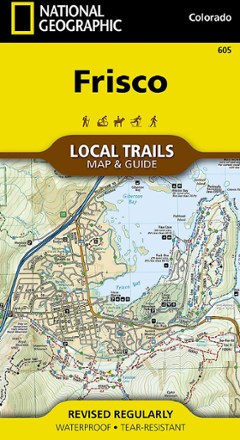


Frisco Local Trails Map & Guide
Tech Specs
BrandNational Geographic
Best UseHiking
State / ProvinceColorado
Folded Dimensions7.5 x 4 inches
Unfolded Dimensions26.25 x 19.5 inches
Map Scale1:31,680
Double SidedYes
WaterproofYes
PublisherNational Geographic
Copyright Year2018
Map Number605
Description
Find year-round opportunities for adventure with this National Geographic Local Trails map and guide of Frisco, Colorado—located at the core of the aptly named Summit County.
Features
- Located where parts of the Front, Tenmile, and Gore Ranges collide, Frisco, Colorado, offers year-round opportunities for adventure
- Just 30 minutes from 6 world-class ski resorts and surrounded by public lands, Frisco is an ideal basecamp for outdoor enthusiasts and nature lovers
- It's perched at 9,097 ft. and sits at the Dillon Reservoir
- Dozens of hiking, snowshoeing and mountain biking trails are accessible from town, allowing visitors of all skills and fitness levels to explore forests, mountains and valleys
- Map has a standard trail map on one side and a trails guide on the other; hikes range from the easy 0.8-mi. Rainbow Lake Trail to the lung-busting 3,800-ft. climb up Peak One
- Each selected trail includes a brief description, elevation gain and length, and a detailed elevation profile to track your progress up and down the numerous peaks and valleys
- Each Local Trails map includes detailed trail maps at 1 in. = 1/2 mi., showing every turn of the trail clearly plus the terrain contours
- In addition to the standard features like trailheads and parking areas, map also shows trail difficulties by segment, so you can assess the level for parts of the trail or all